Routeyst
Opening your next page…
Routeyst
Opening your next page…
Your next day out
Finding your places to explore…
Loading your city’s local sights and outing ideas.
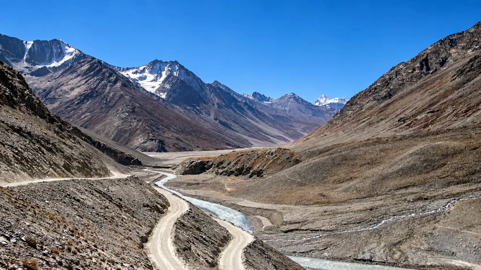
Choose a starting point, find local sights or an out-of-town idea within a stated 200 km road distance.
Make it your kind of day
Choose a starting point and your ideas appear automatically. Switch to Out of town whenever you fancy going further.
Himachal Pradesh · Local sights
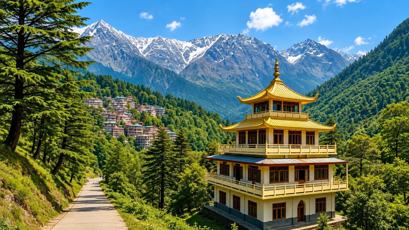
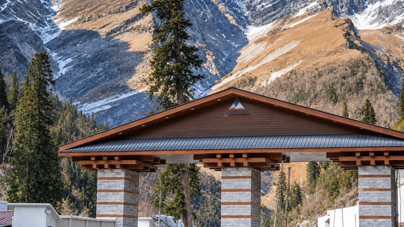
Set against the colossal, snow-crested wall of the Dhauladhar mountain range in the Western Himalayas, Dharamshala is a destination of rare dual personality.
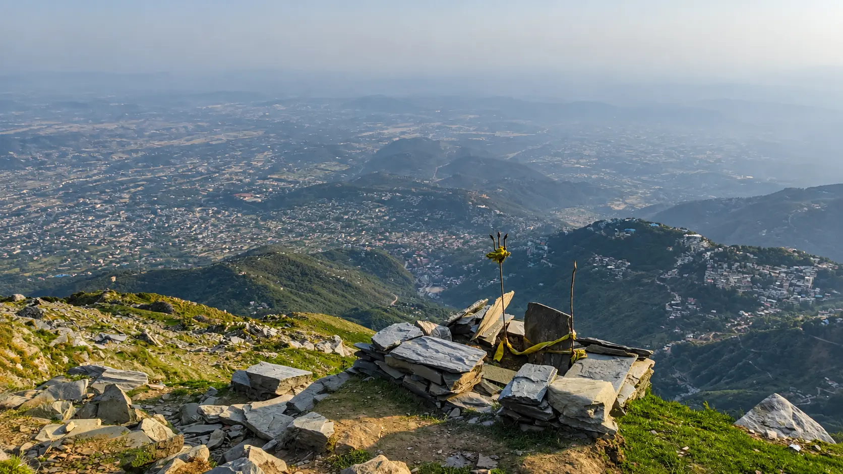
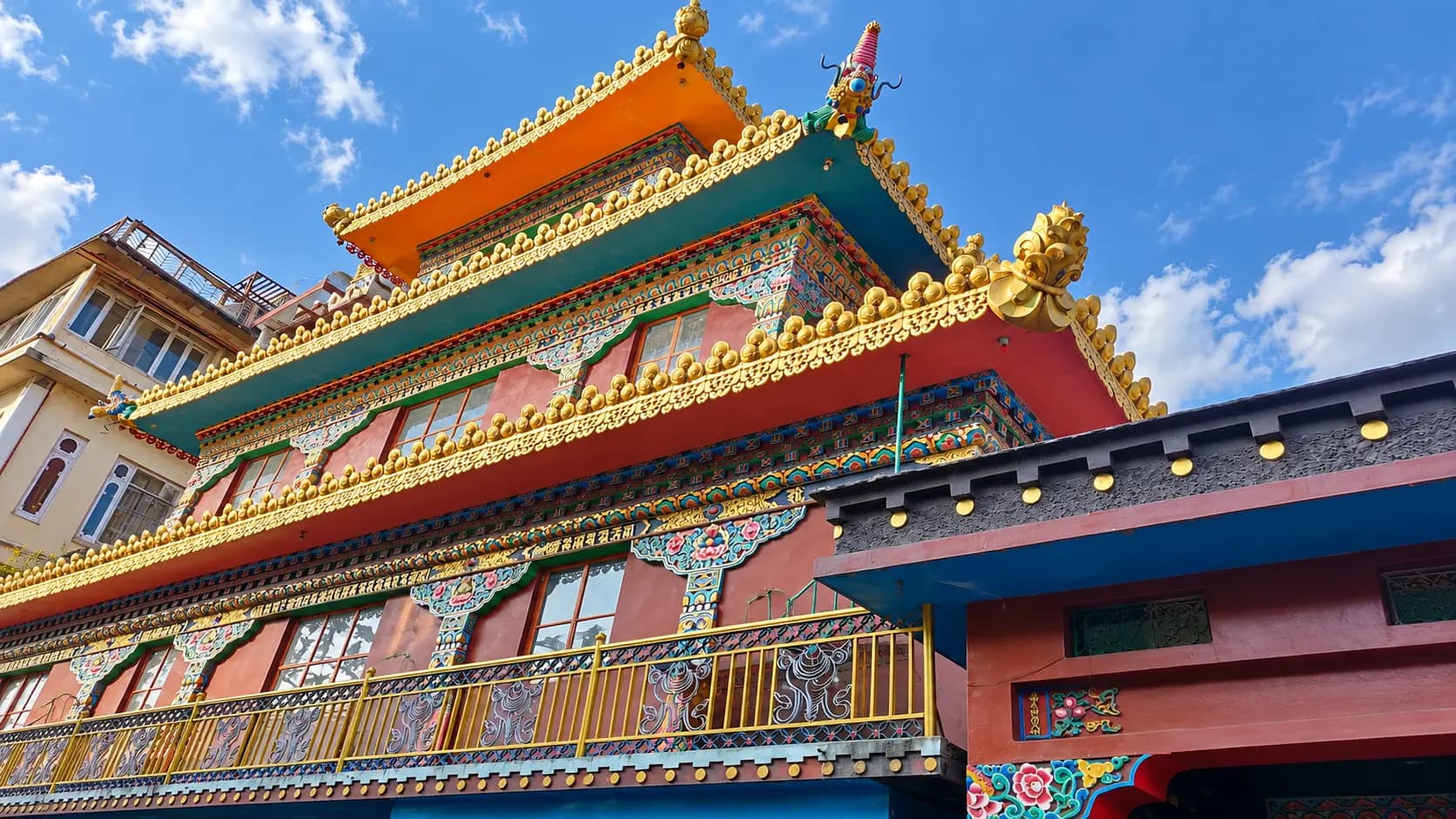
Set against the colossal, snow-crested wall of the Dhauladhar mountain range in the Western Himalayas, Dharamshala is a destination of rare dual personality. The urban area divides naturally into two distinct zones separated by 9 km of winding mountain road (or a 10-minute aerial ride on the Dharamshala Skyway): Lower Dharamshala (altitude ~1,450 metres), the bustling administrative, sporting, and cultural hub known for the iconic HPCA International Cricket Stadium, the historic Kangra Art Museum, the deodar-fringed War Memorial, and peaceful terraced tea estates; and Upper Dharamshala / McLeod Ganj (altitude ~2,082 metres), the globally famous "Little Lhasa" and seat of His Holiness the 14th Dalai Lama, where maroon-robed monks, Tibetan craft bazaars, momo cafes, ancient Shiva freshwater springs, and neo-Gothic colonial churches thrive along mist-cloaked pine ridges.
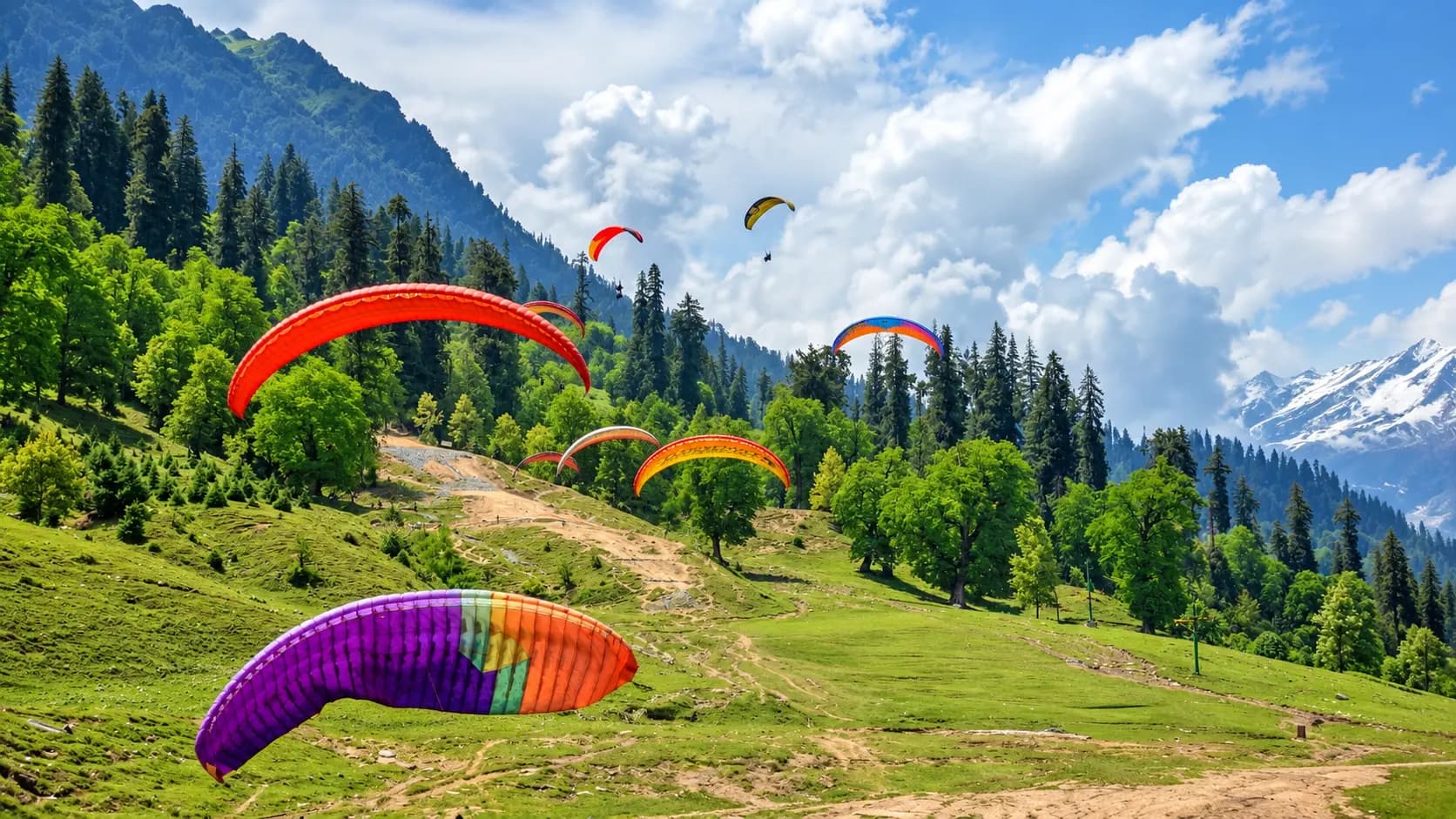
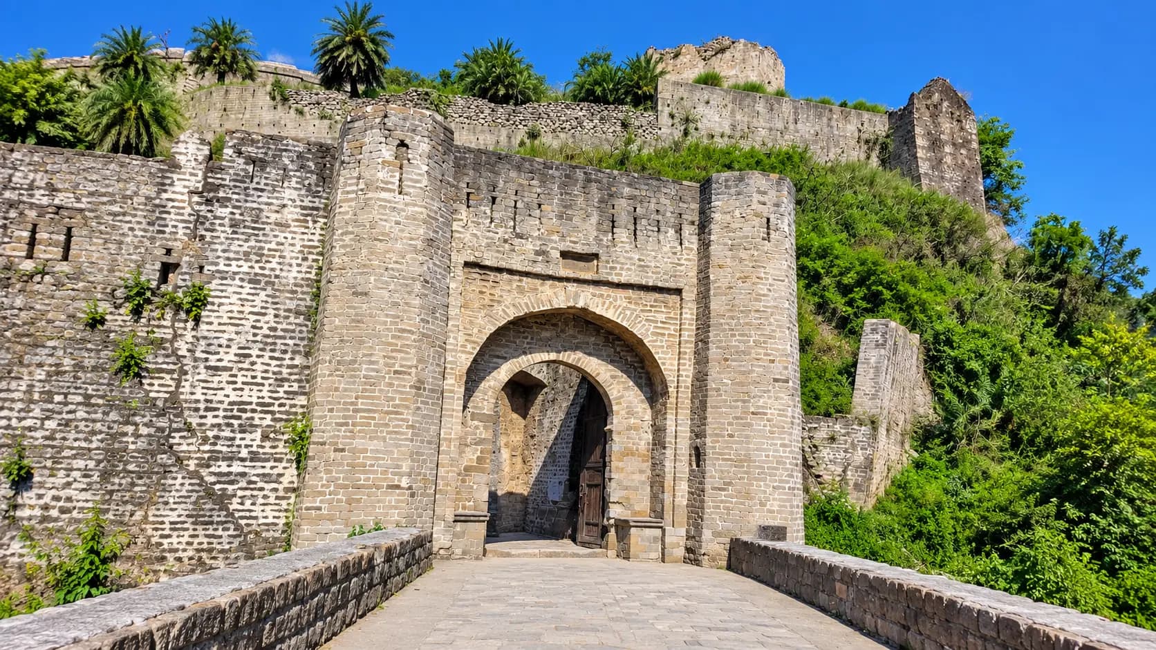
Beyond the municipal boundary, the Kangra Valley opens up into a treasure trove of ancient kingdoms, world-class aero-sports, and tranquil tea estates. Heading south into the valley basin reveals the dramatic river gorges of Kangra Fort (20 km) - one of the oldest fortresses in India - and the 8th-century monolithic rock-carved sanctuaries of Masrur (45 km), often called the "Himalayan Ellora". To the east along National Highway 154 lie the wide, pine-scented tea plantations and river chasms of Palampur (35 km), while further along the Dhauladhar foothills lies Bir Billing (65 km), universally ranked among the top paragliding launch sites in the world. Every recommended out-of-town excursion lies within 65 km of Dharamshala, making each an effortless day outing along well-maintained mountain highways.
Explore local sights and the nearby visitor area. Maps opens a place search; check the visitor entrance and current access.
3 of 3 places · Open details without losing your list
Not sure? Pick 2–3 places to compare.
Planning your day
The most scenic, efficient, and traffic-free way to travel between Lower and Upper Dharamshala is the Dharamshala Skyway passenger ropeway. The 1.8-km aerial cable car connects the lower terminal near Dharamshala bus stand to the upper terminal at McLeod Ganj bus stand in just 10 minutes, avoiding the winding 9 km road which can experience severe traffic jams on weekends. Alternatively, regular HRTC local buses, shared jeeps, and private taxis ply the mountain road continuously (approx. 25 - 45 minutes).
Both the Kangra Art Museum in Kotwali Bazaar and The Tibet Museum inside the Tsuglagkhang Complex are strictly closed on Mondays. However, the main Tsuglagkhang Temple, Namgyal Monastery courtyards, the Kora walking path, St. John in the Wilderness Church, Bhagsunath Temple, and HPCA Stadium remain open on Mondays.
Yes. Tandem paragliding at Bir Billing requires no prior experience; you fly securely strapped to a certified, licensed commercial pilot who handles all launch, flight control, and landing maneuvers. At 65 km away, Bir is reached in approximately 2 to 2.5 hours by car from Dharamshala. An early morning departure allows ample time to drive to Bir, take the 4x4 jeep ride up to Billing, complete the 15-to-25-minute flight, visit Chokling Monastery, and return to Dharamshala by evening. Paragliding operates from October to June (suspended during July and August monsoons).
During the winter months (late December through February), light to moderate snowfall occasionally blankets McLeod Ganj, Bhagsunag, and Dharamkot. For guaranteed dramatic snow landscapes without difficult high-altitude trekking, visit the spectator stands of the HPCA Stadium in Lower Dharamshala or the terrace of St. John in the Wilderness on clear winter mornings, where the Dhauladhar mountain wall towers overhead covered in deep snow.
Your friend receives the same starting point, outing type and filters. No sign-in needed.
Make room for a longer journey
Hubs and guides from our wider collection, ordered with local and geographically closer places first. These are not limited to 200 km and are not road-distance estimates.
Open a place for its researched visitor notes. Confirm current charges and access before travelling.
Operating hours and ticket schedules are regulated by the Department of Language, Art & Culture, Government of Himachal Pradesh, and are subject to official revision.
The museum is centrally situated in Kotwali Bazaar in Lower Dharamshala, adjacent to the General Bus Stand and the Dharamshala Municipal Council office.
Visitor entrance and transit:
Fees, visiting hours and entry rules may change. Confirm the latest details with the official operator or local authority before travelling.
Operating hours and ticket rates are administered by the Himachal Pradesh Sainik Kalyan Board and the Kangra District Administration.
The War Memorial is located along Kachehri Road at the southern entrance to Dharamshala, just before Kotwali Bazaar in Lower Dharamshala.
Visitor entrance and transit:
Fees, visiting hours and entry rules may change. Confirm the latest details with the official operator or local authority before travelling.
Visiting hours, entry tokens, and spectator gate policies are managed by the Himachal Pradesh Cricket Association (HPCA) and are subject to sporting schedules.
The stadium is located in the Chilgari neighborhood of Lower Dharamshala, approximately 3 km south of Kotwali Bazaar and 11 km downhill from McLeod Ganj.
Visitor entrance and transit:
Fees, visiting hours and entry rules may change. Confirm the latest details with the official operator or local authority before travelling.
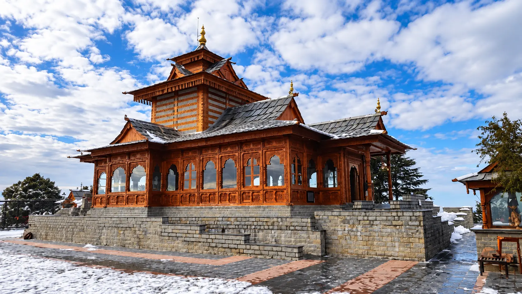
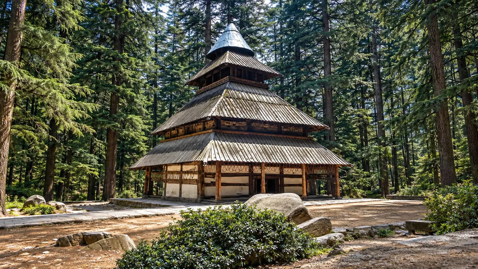
Temple worship rituals and hours are maintained by the local temple committee and village elders.
The temple is situated roughly 3.5 km west of Kotwali Bazaar in Lower Dharamshala, accessible via the Kunal Pathri Road.
Visitor entrance and transit:
Fees, visiting hours and entry rules may change. Confirm the latest details with the official operator or local authority before travelling.
Town traffic and public municipal facilities are maintained by the Dharamshala Municipal Corporation.
McLeod Ganj is situated in Upper Dharamshala, approximately 9 km uphill by road from Kotwali Bazaar (Lower Dharamshala).
Visitor entrance and transit:
Fees, visiting hours and entry rules may change. Confirm the latest details with the official operator or local authority before travelling.
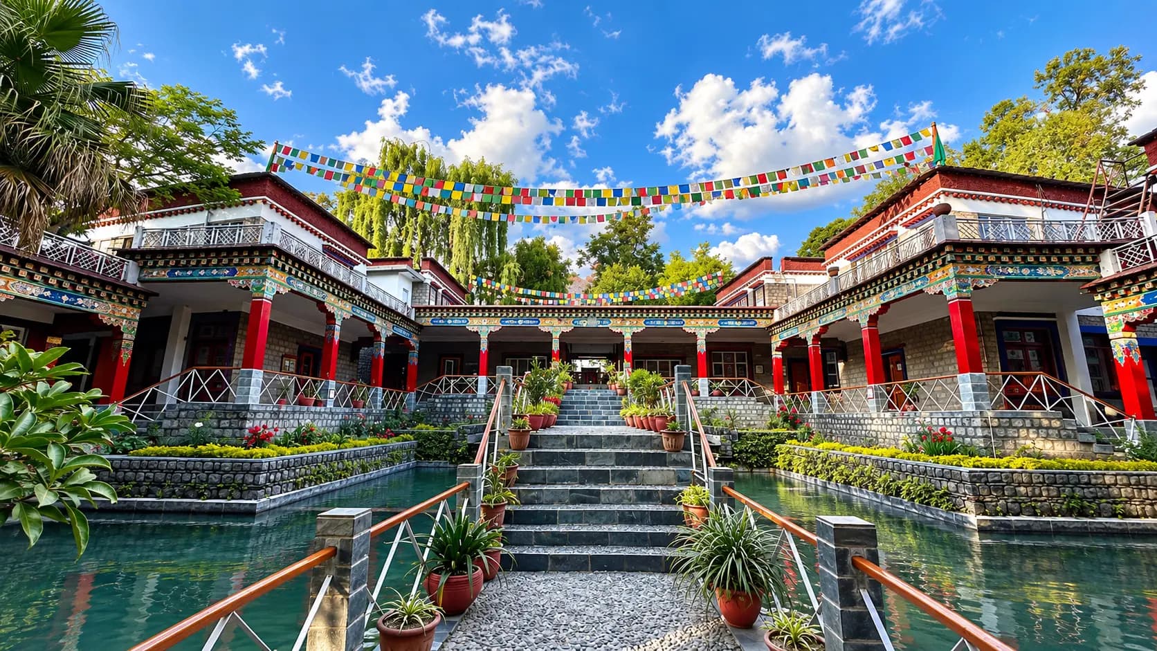
Complex security and religious schedules are overseen by the Office of His Holiness the Dalai Lama and the Department of Security, CTA.
The Tsuglagkhang Complex is situated at the southern end of Temple Road in McLeod Ganj, approximately 800 metres south of the McLeod Ganj Main Square.
Visitor entrance and transit:
Fees, visiting hours and entry rules may change. Confirm the latest details with the official operator or local authority before travelling.
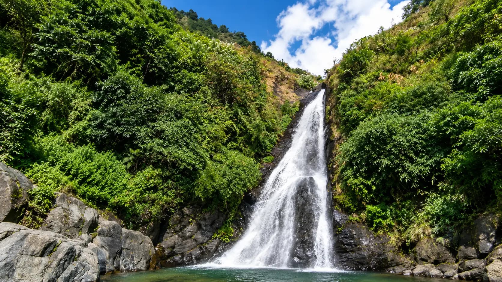
Temple rituals and village facilities are overseen by the Bhagsunath Temple Trust and local panchayat.
Bhagsu is located in Upper Dharamshala, approximately 2 km east of McLeod Ganj Main Square and about 11 km uphill from Lower Dharamshala (Kotwali Bazaar).
Visitor entrance and transit:
Fees, visiting hours and entry rules may change. Confirm the latest details with the official operator or local authority before travelling.
Browse cities by state · 85 starting points
Open a state, then choose your starting city. Local sights load automatically.
Out-of-town ideas vary in distance. Check your outward and return journey, time at the destination and breaks before deciding whether you need a stay.
Maps may identify a landscape rather than its visitor entrance. Check parking, walks, boat transfers and entry permission with the local operator.
Use the guide for practical context and visit weather for the available three-day forecast. Neither is a live opening or safety confirmation.