Routeyst
Opening your next page…
Routeyst
Opening your next page…
Your next day out
Finding your places to explore…
Loading your city’s local sights and outing ideas.
Choose a starting point, find local sights or an out-of-town idea within a stated 200 km road distance.
Make it your kind of day
Choose a starting point and your ideas appear automatically. Switch to Out of town whenever you fancy going further.
Meghalaya · Local sights
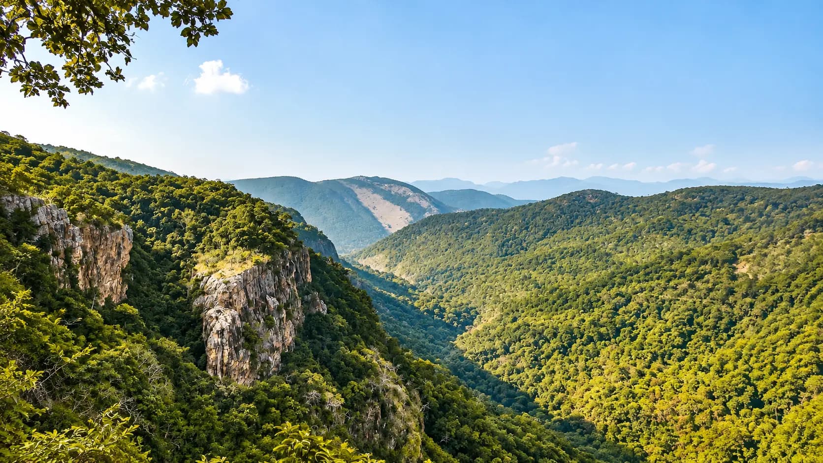
Perched at an elevation of nearly 1,500 metres in the rolling pine-covered folds of the Khasi Hills, Shillong offers an exceptional highland weekend base that bridges colonial hill-station charm, indigenous tribal heritage, and…
Perched at an elevation of nearly 1,500 metres in the rolling pine-covered folds of the Khasi Hills, Shillong offers an exceptional highland weekend base that bridges colonial hill-station charm, indigenous tribal heritage, and dramatic sub-tropical river canyons. Within the immediate municipal basin and adjoining upper ridges, visitors can explore tranquil botanical waters at Ward's Lake, seven floors of rich pan-Northeast tribal ethnography at the Don Bosco Museum, Gothic church spires in Laitumkhrah, bustling Khasi market life in Iewduh, thunderous multi-tiered cascades at Elephant Falls, panoramic views from Shillong Peak (1,965 m), and 800 years of animist conservation at the Mawphlang Sacred Forest.
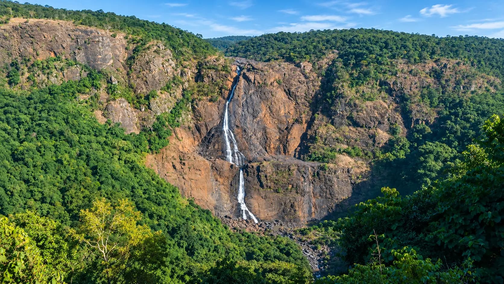
Venturing out of town reveals dramatic shifts in landscape: north along NH6 lies the vast serene reservoir of Umiam Lake surrounded by pine bluffs; south along the mist-draped edge of the plateau lies Sohra (Cherrapunjee) with some of the highest waterfalls in Asia; descending deep into the rainforest canyons via 3,500 stone steps from Tyrna leads to the world-famous bio-engineered Double Decker Living Root Bridge at Nongriat; and south toward the Bangladesh border along NH206 leads to the spotless eco-village of Mawlynnong and the astonishing crystal-clear emerald waters of the Umngot River at Dawki. Note that while road distances across Meghalaya appear modest (mostly under 90 km), winding mountain topography, narrow two-lane village roads, and frequent fog demand realistic travel times - rarely averaging faster than 25 to 35 km/h.
Explore local sights and the nearby visitor area. Maps opens a place search; check the visitor entrance and current access.
1 of 1 places · Open details without losing your list
Not sure? Pick 2–3 places to compare.
Planning your day
Attempting to combine Cherrapunjee and Dawki in a single day is strongly discouraged. Although they appear close on regional maps, deep river canyons divide them, requiring driving back north via Pynursla and Laitlyngkot. Trying to combine them results in over 7 to 8 hours of arduous mountain driving on winding roads, leaving almost no daylight to enjoy the waterfalls or boat rides. Allocate Sohra and Dawki/Mawlynnong to two distinct, dedicated day trips.
Riwai Living Root Bridge is a single-level root bridge located 2.5 km outside Mawlynnong village that requires only a gentle 10 to 15-minute walk down ~100 stone steps from roadside parking, making it accessible to seniors, families with young children, and casual visitors. Nongriat Double Decker Root Bridge is a world-famous two-tier root bridge that strictly requires a grueling trek of over 3,500 steep stone steps down and back up (7,000 steps round-trip, dropping 2,460 vertical feet) through rainforest valleys, requiring substantial physical fitness and 5 to 7 hours of hiking.
The summit of Shillong Peak houses an active, strategic Indian Air Force (IAF) radar installation and military base. Indian citizens must present original government-issued photo identification (such as Aadhaar card, passport, driving licence, or voter ID) at the IAF security check gate before vehicles and passengers are permitted through. Foreign nationals are strictly restricted by military regulations from entering the Air Force gate and should visit the nearby Laitkor Overlook instead.
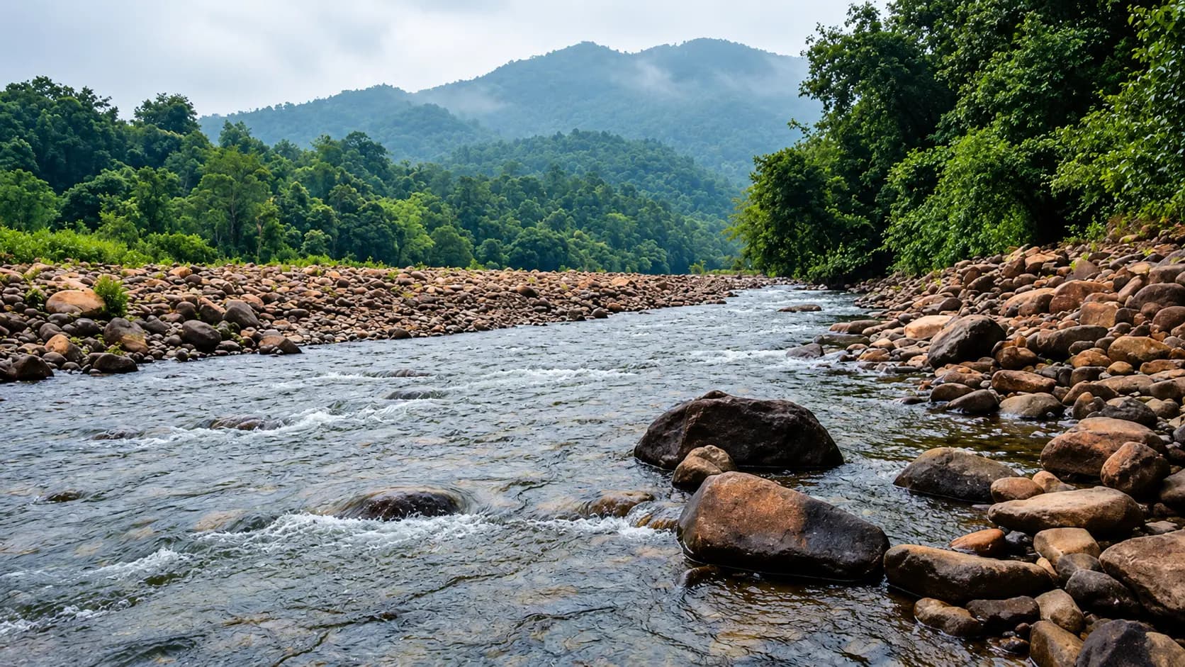
The Umngot River is clear exclusively during the dry winter and early spring months from November through April, with optimal conditions between December and March when mountain runoff is absent and water current is tranquil. Visiting between June and September during the southwest monsoon will disappoint: the river becomes swollen, murky brown, and dangerous, with boating operations frequently suspended.
Your friend receives the same starting point, outing type and filters. No sign-in needed.
Make room for a longer journey
Hubs and guides from our wider collection, ordered with local and geographically closer places first. These are not limited to 200 km and are not road-distance estimates.
Open a place for its researched visitor notes. Confirm current charges and access before travelling.
Ward's Lake is situated in the central administrative precinct of Shillong, approximately 500 metres east of Police Bazar (Khyndailad) and just 300 metres from the Meghalaya Secretariat and Raj Bhavan. Because of its central location, it is easily reached on foot in 5 to 10 minutes from most central Shillong hotels and guesthouses. Local shared or private black-and-yellow city cabs and auto-rickshaws can drop passengers right at the main wooden ticketing gate. Paid vehicular parking is available along the approach road outside the gate.
Fees, visiting hours and entry rules may change. Confirm the latest details with the official operator or local authority before travelling.
The Don Bosco Museum is located in the Sacred Heart Church campus in Mawlai Phudmraw, approximately 4 km north of central Police Bazar (Khyndailad) and 2 km from the Shillong-Guwahati National Highway (NH 6). Taxis and local black-and-yellow city cabs readily reach the museum gates from Police Bazar in about 15 to 20 minutes depending on local traffic. Shared city cabs operating from Motphran / Bara Bazar along the Mawlai route can drop passengers at the Mawlai bus stop, followed by a 400-metre uphill walk. Dedicated free vehicle parking is provided directly within the museum gates.
Fees, visiting hours and entry rules may change. Confirm the latest details with the official operator or local authority before travelling.
The Cathedral is located on a prominent hill in Laitumkhrah, approximately 2.5 to 3 km southeast of central Police Bazar (Khyndailad). It is easily accessible by local black-and-yellow city cabs, auto-rickshaws, and private vehicles. Local shared cabs running along the Police Bazar - Laitumkhrah corridor drop passengers at the Laitumkhrah market junction, from where it is an easy 300-metre uphill walk to the church gates. Ample organized vehicle parking is available directly within the cathedral compound.
Fees, visiting hours and entry rules may change. Confirm the latest details with the official operator or local authority before travelling.
Police Bazar (Khyndailad) is the central landmark and zero milestone of Shillong, located approximately 1 km west of the Meghalaya Secretariat and Ward's Lake. It is the primary transport hub for the city: shared black-and-yellow city taxis, regional tourist cabs, and private vehicles converge at the central roadheads. Shared cabs to Iewduh / Bara Bazar depart every few seconds from the Motphran junction just down the road. Because vehicle access into the central pedestrian shopping lanes is blocked, visitors arriving by car should park at the multi-level municipal parking complex near the Meghalaya Transport Corporation (MTC) depot on GS Road (approx. 200 metres walk).
Fees, visiting hours and entry rules may change. Confirm the latest details with the official operator or local authority before travelling.
Shillong Peak is located in Laitkor in Upper Shillong, approximately 10 to 12 km south of central Police Bazar (Khyndailad). Private cars, tourist taxis, and hired city cabs follow the well-paved, winding National Highway 106 (Shillong - Cherrapunjee Road) through Upper Shillong, turning east onto the designated Laitkor Peak military road (typical driving time is 30 to 45 minutes depending on central city traffic). Because public buses do not enter the peak road, hiring a dedicated private taxi from Police Bazar or booking a day-tour vehicle is the most practical transit method. Dedicated paid vehicle parking is provided outside the security reception gate.
Fees, visiting hours and entry rules may change. Confirm the latest details with the official operator or local authority before travelling.
Elephant Falls is located in Upper Shillong along the road toward Elephant Falls Military Camp, approximately 11 to 12 km southwest of central Police Bazar (Khyndailad). Private cars, tourist taxis, and local black-and-yellow city cabs travel along National Highway 106 (Shillong - Cherrapunjee Road) past the Eastern Air Command headquarters and 5th Mile, turning onto the well-signposted entrance road (typical driving time is 25 to 40 minutes). Local shared cabs departing from Bara Bazar (Iewduh) toward Upper Shillong drop passengers at the Elephant Falls turnoff. Dedicated, spacious paid vehicle parking is provided right outside the ticket pavilion.
Fees, visiting hours and entry rules may change. Confirm the latest details with the official operator or local authority before travelling.
Mawphlang is situated approximately 24 to 26 km south-southwest of central Shillong (Police Bazar). Private cars, tourist taxis, and hired cabs follow National Highway 106 past Upper Shillong and 7th Mile, taking the well-paved Mawphlang road across undulating green highlands (typical driving time is 45 minutes to 1 hour). Shared passenger sumos and local black-and-yellow cabs depart regularly from Bara Bazar (Iewduh) toward Mawphlang. Ample organized vehicle parking is available in the wide clearing outside the forest entrance pavilion and Khasi Heritage Village.
Fees, visiting hours and entry rules may change. Confirm the latest details with the official operator or local authority before travelling.
Browse cities by state · 85 starting points
Open a state, then choose your starting city. Local sights load automatically.
Out-of-town ideas vary in distance. Check your outward and return journey, time at the destination and breaks before deciding whether you need a stay.
Maps may identify a landscape rather than its visitor entrance. Check parking, walks, boat transfers and entry permission with the local operator.
Use the guide for practical context and visit weather for the available three-day forecast. Neither is a live opening or safety confirmation.