Routeyst
Opening your next page…
Routeyst
Opening your next page…
Your next day out
Finding your places to explore…
Loading your city’s local sights and outing ideas.
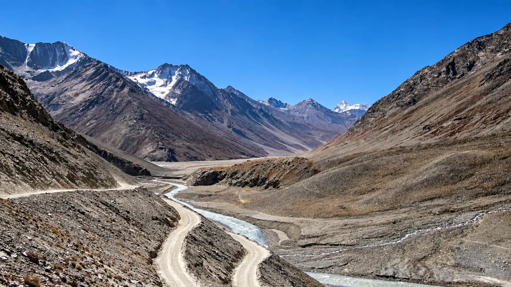
Choose a starting point, find local sights or an out-of-town idea within a stated 200 km road distance.
Make it your kind of day
Choose a starting point and your ideas appear automatically. Switch to Out of town whenever you fancy going further.
West Bengal · Local sights
Crowned the "Queen of the Hills", Darjeeling sits along a high mountain crest in the Eastern Himalayas, commanding majestic views of Mount Kangchenjunga across rolling valleys carpeted with world-famous tea bushes.
Crowned the "Queen of the Hills", Darjeeling sits along a high mountain crest in the Eastern Himalayas, commanding majestic views of Mount Kangchenjunga across rolling valleys carpeted with world-famous tea bushes. Deciding on an outing from Darjeeling presents a delightful contrast between high-altitude urban heritage walks and regional mountain drives across neighbouring hill districts:
Explore local sights and the nearby visitor area. Maps opens a place search; check the visitor entrance and current access.
5 of 5 places · Open details without losing your list
Not sure? Pick 2–3 places to compare.
Planning your day
Wake up by 3:15 AM to depart your Darjeeling hotel between 3:45 AM and 4:15 AM. The drive takes around 35 to 45 minutes; arriving early ensures your vehicle gets a parking slot near the observatory before hundreds of tourist jeeps choke the summit road.
Bookings should be made in advance online through the official IRCTC portal (enter station code DJ for Darjeeling and DJRZ for the Joyride round-trip) or at any Indian Railways computerised reservation counter. Seats sell out weeks in advance during peak autumn and spring holiday seasons.
October and November offer the most consistently clear skies and crystalline visibility across the Eastern Himalayas. March and April also offer good morning visibility, accompanied by blooming rhododendrons and magnolia trees across the hillsides.
No. Mirik is located 49 km to the southwest towards the Nepal border, while Kalimpong is 50 km to the northeast across the Teesta River gorge. Each requires roughly 2 to 2.5 hours of mountain driving in completely opposite directions and should be enjoyed as separate full-day excursions.
Your friend receives the same starting point, outing type and filters. No sign-in needed.
Make room for a longer journey
Hubs and guides from our wider collection, ordered with local and geographically closer places first. These are not limited to 200 km and are not road-distance estimates.
Open a place for its researched visitor notes. Confirm current charges and access before travelling.
Fees, visiting hours and entry rules may change. Confirm the latest details with the official operator or local authority before travelling.
Fees, visiting hours and entry rules may change. Confirm the latest details with the official operator or local authority before travelling.
Fees, visiting hours and entry rules may change. Confirm the latest details with the official operator or local authority before travelling.
Fees, visiting hours and entry rules may change. Confirm the latest details with the official operator or local authority before travelling.
Fees, visiting hours and entry rules may change. Confirm the latest details with the official operator or local authority before travelling.
Browse cities by state · 85 starting points
Open a state, then choose your starting city. Local sights load automatically.
Out-of-town ideas vary in distance. Check your outward and return journey, time at the destination and breaks before deciding whether you need a stay.
Maps may identify a landscape rather than its visitor entrance. Check parking, walks, boat transfers and entry permission with the local operator.
Use the guide for practical context and visit weather for the available three-day forecast. Neither is a live opening or safety confirmation.