Routeyst
Opening your next page…
Routeyst
Opening your next page…
Your next day out
Finding your places to explore…
Loading your city’s local sights and outing ideas.
Choose a starting point, find local sights or an out-of-town idea within a stated 200 km road distance.
Make it your kind of day
Choose a starting point and your ideas appear automatically. Switch to Out of town whenever you fancy going further.
Odisha · Out of town
Celebrated as the "Steel City of Odisha" (*Ispat Nagar*), Rourkela was established in the 1950s with German industrial collaboration as India’s first public sector integrated steel plant.
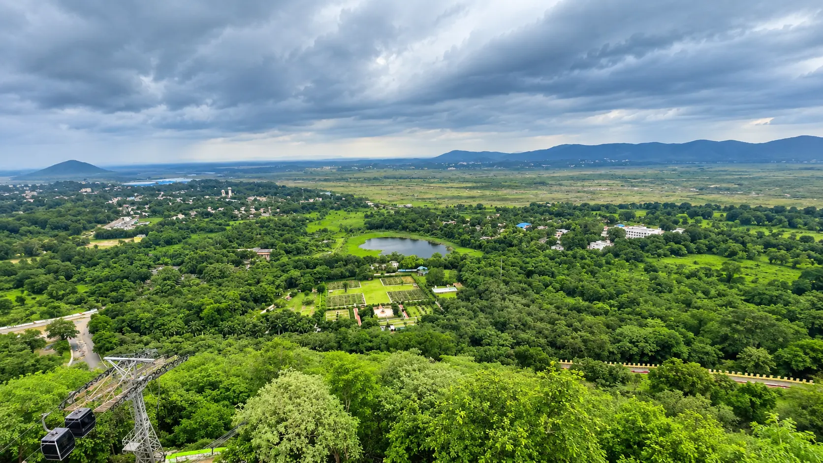
Celebrated as the "Steel City of Odisha" (Ispat Nagar), Rourkela was established in the 1950s with German industrial collaboration as India’s first public sector integrated steel plant. Surrounded by the forested hills of the Chota Nagpur plateau and bisected by scenic river channels, Rourkela is characterized by a unique contrast between colossal heavy industry and verdant, carefully planned civic green spaces.
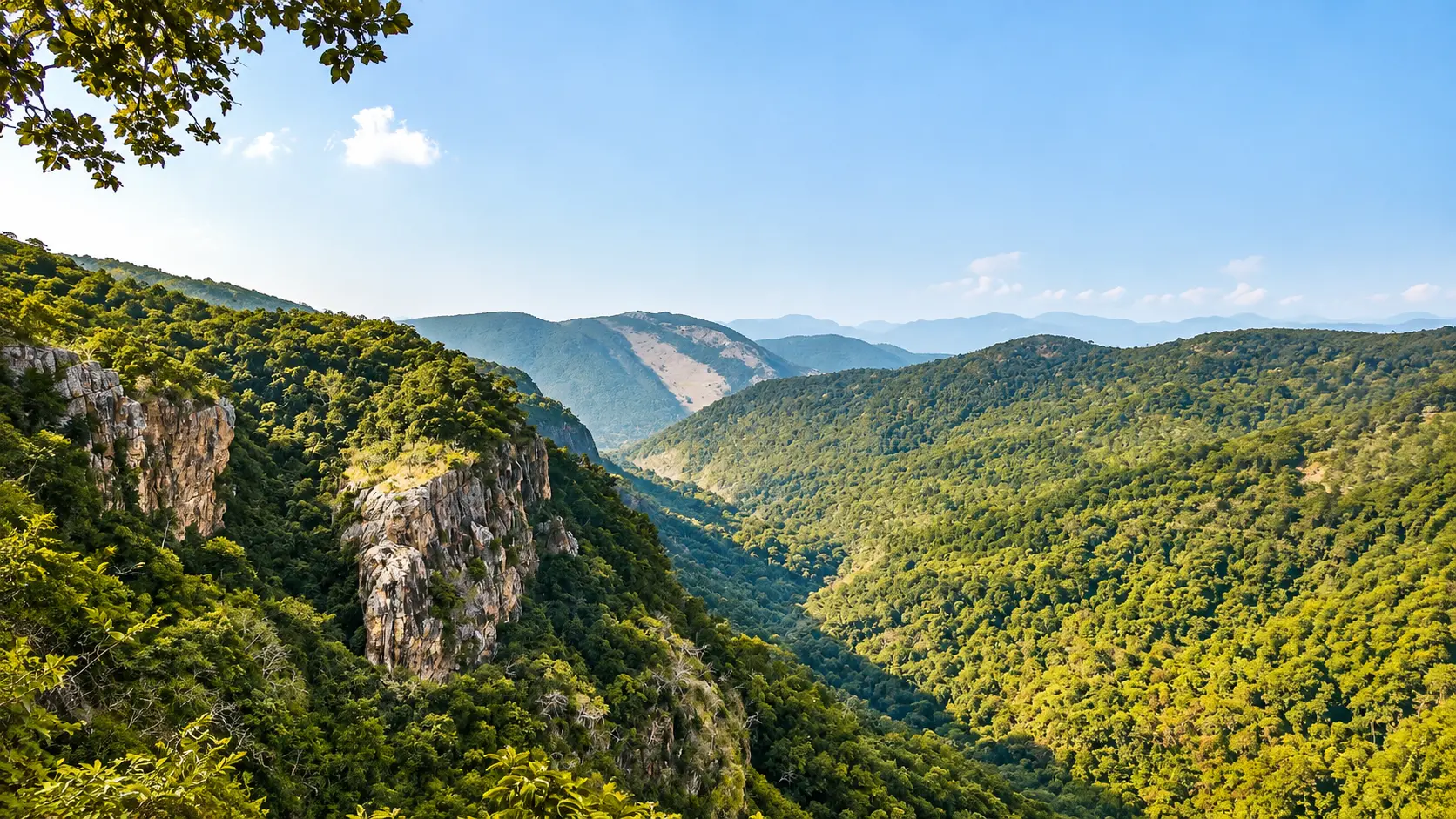
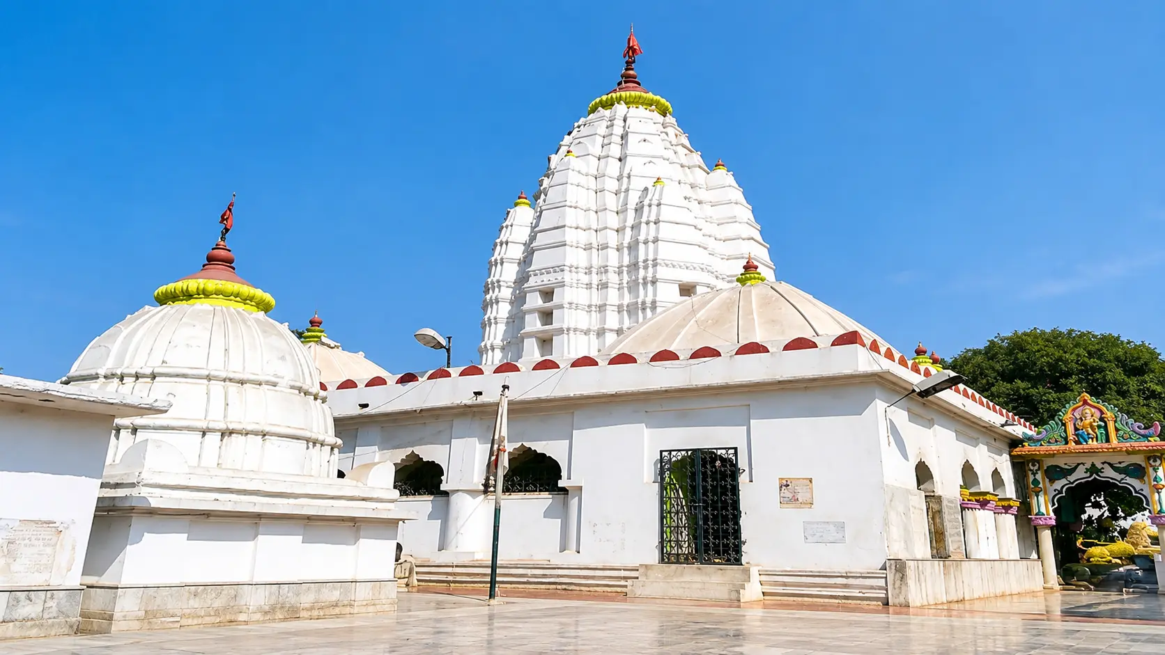
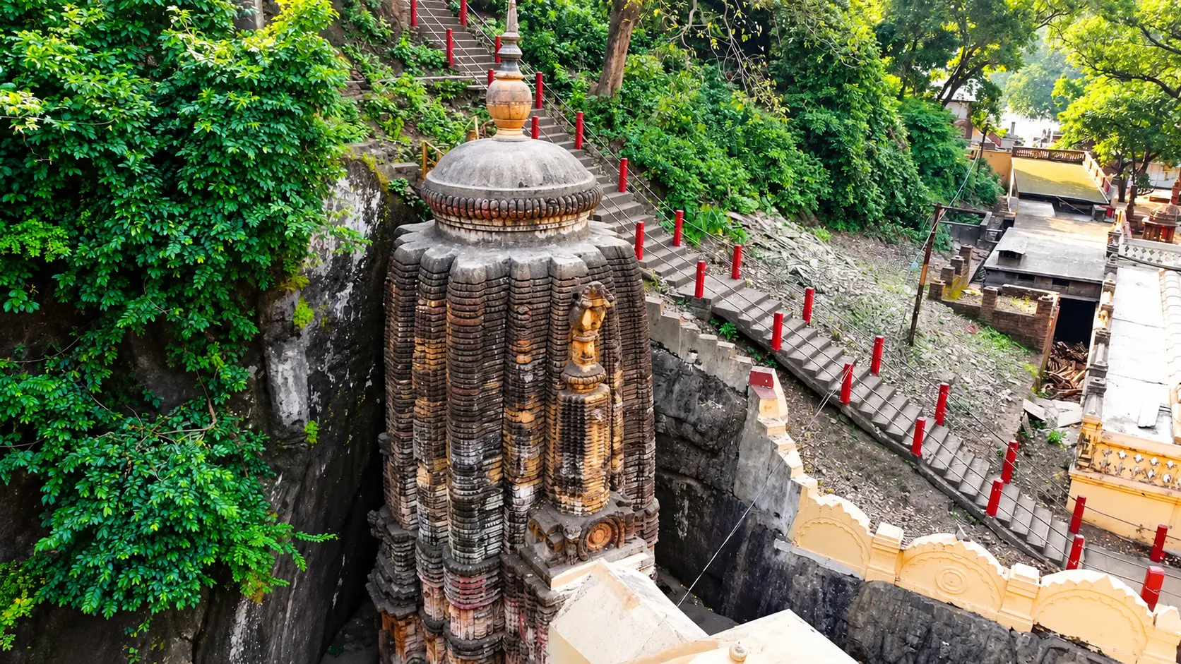
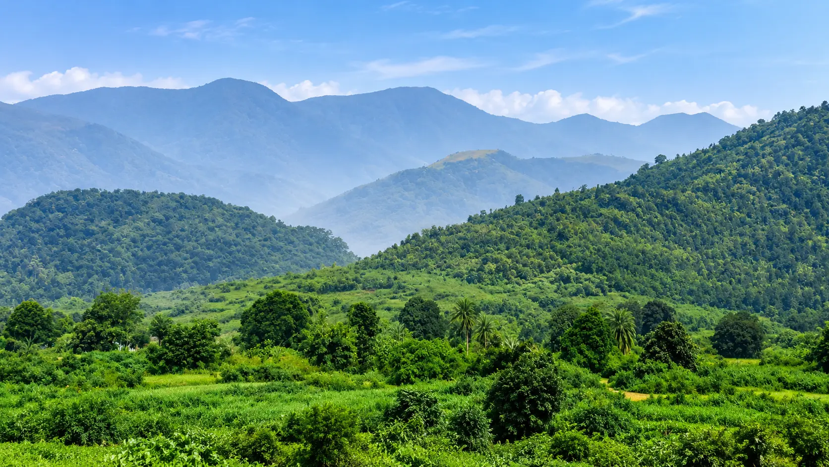
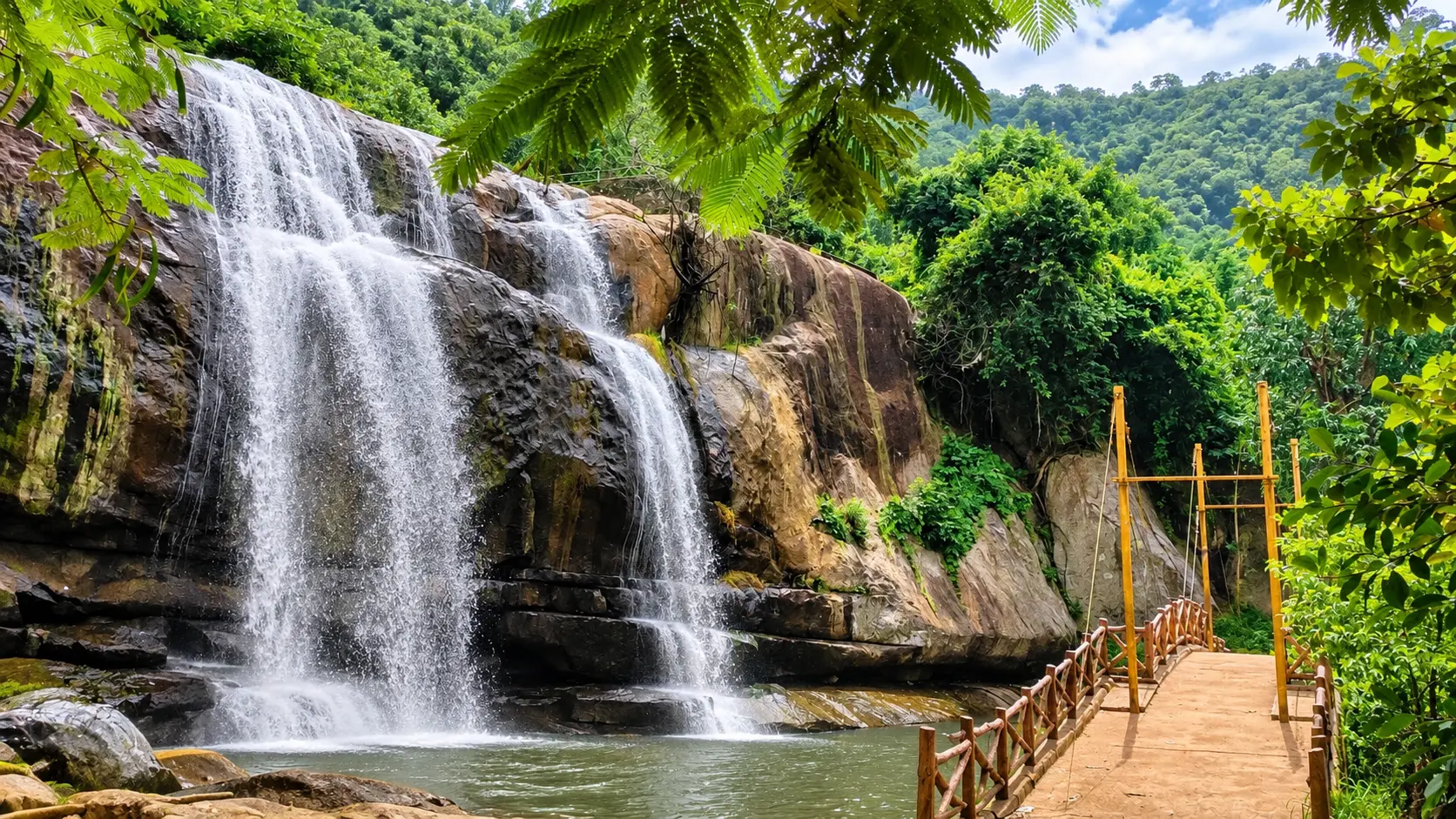
For local exploration, visitors can tour the impressive 13-acre temple gardens of Hanuman Vatika housing Asia’s renowned 74-foot Hanuman statue, climb the 600 steps to the holy cave replica atop Durgapur Hill for sweeping aerial views of the steel plant, visit the sacred confluence of the Sankha and Koel rivers at Vedvyas where Sage Vyasa composed the Mahabharata, and spend relaxed afternoons exploring the botanical gardens, deer enclosures, and observation towers of Indira Gandhi Park and Jubilee Park. For excursions beyond the city perimeter, Sundargarh district’s rugged topography offers unforgettable nature adventures: the roaring 244-meter plunge of Khandadhar Waterfall, speedboat cruises across Mandira Dam reservoir, secluded birdwatching at Pitamahal Dam, riverbank picnics amidst sculpted granite rocks at Darjing, and misty highland escapes at Tensa Hill Station - all comfortably situated within 22 to 85 km.
Out-of-town ideas use a stated road distance of up to 200 km from the researched starting point; confirm your actual route. Some need an overnight stay. Maps opens a place search; check the visitor entrance and current access.
5 of 5 places · Open details without losing your list
Not sure? Pick 2–3 places to compare.
Planning your day
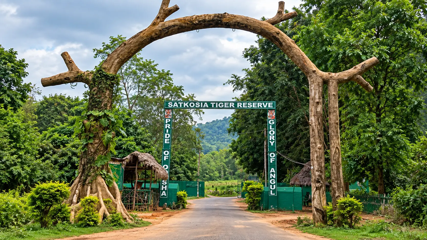
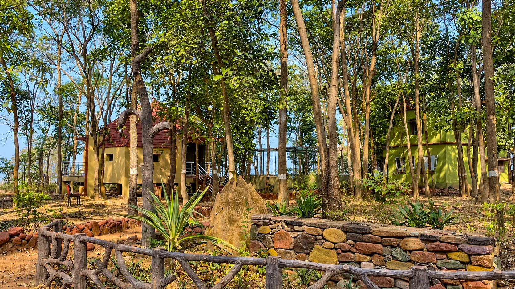
Yes, absolutely. They both lie in the Bonai forest division south of Rourkela. A popular itinerary is to drive down to Khandadhar Waterfall on Saturday morning (75 km), hike the waterfall trail and enjoy lunch at the nature camp, and then drive 45 km to spend the night at the cool hilltop cottages of Tensa Nature Camp (85 km from Rourkela), returning on Sunday afternoon.
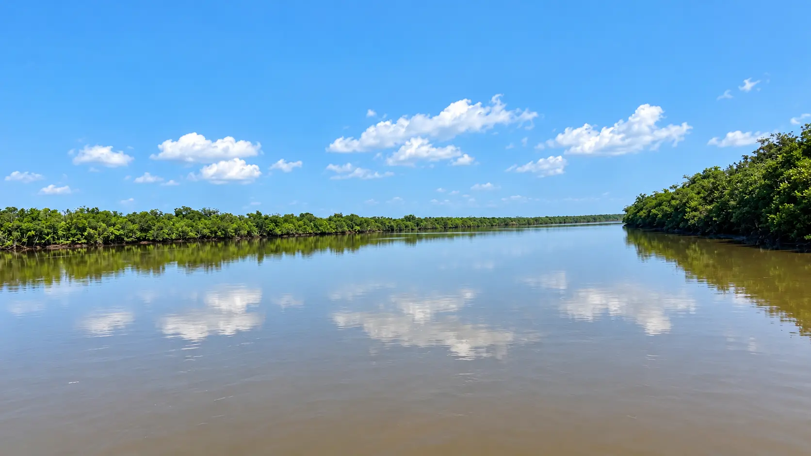
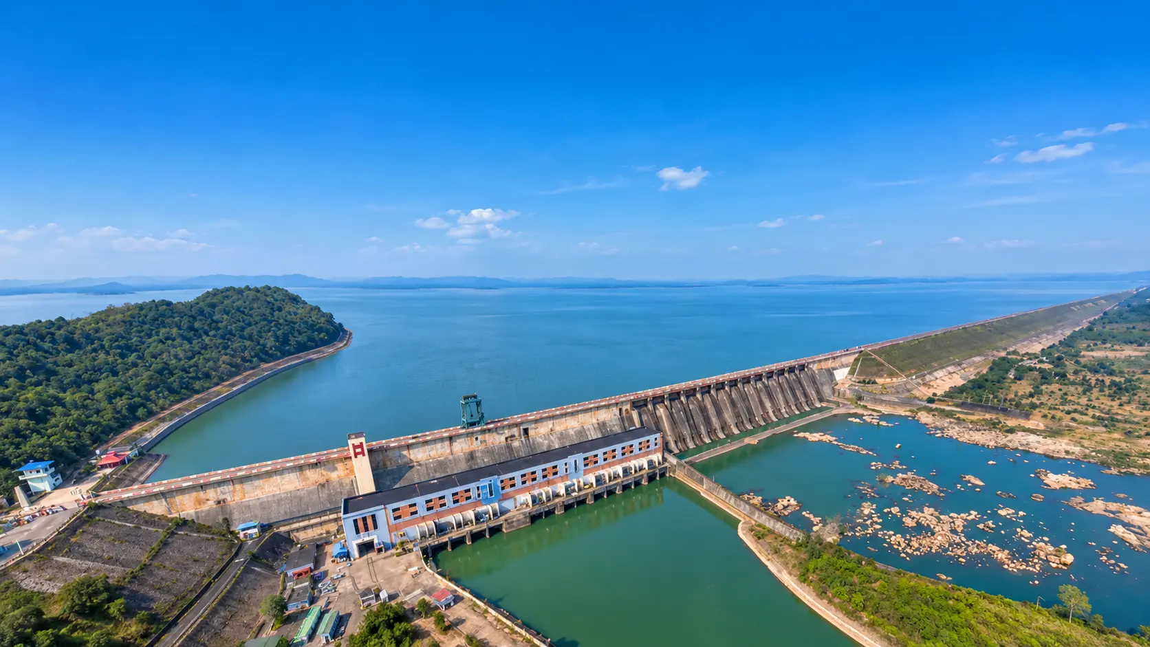
Mandira Dam is a large, highly developed water reservoir on the Sankha River managed by SAIL, featuring organized speedboating, manicured gardens, and a hill-crest bungalow. Pitamahal Dam is an earthen irrigation reservoir on a smaller tributary that is quieter, rustic, free of commercial boat traffic, and ideal for secluded nature walks and birdwatching.
The climb consists of approximately 600 concrete steps equipped with handrails and several covered resting platforms. It takes 25 to 40 minutes at a moderate pace. While reasonably fit visitors will find it an enjoyable workout, travelers with knee issues or heart conditions should take frequent rests or explore permission for vehicular access via the rear service road.
During post-monsoon and winter months, the water at the ghats is calm and clean for wading. However, swimming into the deep central confluence where the Sankha and Koel meet is dangerous due to powerful underwater cross-currents and drop-offs. Always stay within designated shallow steps.
Your friend receives the same starting point, outing type and filters. No sign-in needed.
Make room for a longer journey
Hubs and guides from our wider collection, ordered with local and geographically closer places first. These are not limited to 200 km and are not road-distance estimates.
Open a place for its researched visitor notes. Confirm current charges and access before travelling.
Entry is regulated by the Forest Department through a nominal entry ticket (approx. ₹30 per adult, ₹20 per child). Vehicle parking charges are ₹30 for two-wheelers and ₹50 for cars. The waterfall trail is open daily during daylight hours from 7:00 AM to 5:00 PM for safety. Overnight cottage stays must be booked online through the official Odisha Eco-Tourism portal (ecotourodisha.net). Bathing directly beneath the falling water column is prohibited due to falling debris and powerful undertows; adhere to safety barricades. Forest timings are strictly enforced.
Khandadhar is situated approximately 75 km southeast of central Rourkela via National Highway 143 (Rourkela-Barkote Road) through Rajamunda, turning off onto the scenic Bonai-Lungei rural road. The drive by private car, taxi, or motorcycle takes roughly 1 hour and 45 minutes to 2 hours along picturesque rural highways passing tribal hamlets and the Brahmani river basin. Regular buses ply between Rourkela and Bonaigarh (55 km), from where local auto-rickshaws or jeeps cover the final 20 km to the falls. Ample designated vehicle parking is maintained at the eco-tourism base camp.
Fees, visiting hours and entry rules may change. Confirm the latest details with the official operator or local authority before travelling.
Entry to the public dam area and gardens requires a nominal gate pass/entry fee (approx. ₹20 per adult, ₹10 per child; vehicle parking ₹20 - ₹40). Boating tariffs are paid separately at the lakeside jetty counter (approx. ₹50 to ₹100 per person depending on boat type). The dam recreation area is open daily from 8:00 AM to 5:30 PM. Walking onto high-security technical installations or the spillway machinery is prohibited; follow all safety signboards. Mobile phone photography of the lake and gardens is permitted. Entry passes and boat operations may be suspended during heavy floodgate releases.
Mandira Dam is located approximately 28 km west of central Rourkela (Udit Nagar) via the Rourkela-Sundargarh State Highway (SH-10) up to Kansbahal, from where a well-paved, scenic 7-km access road branches northward through rural Sal forests to the dam gates. The journey takes roughly 40 to 50 minutes by private car, taxi, or motorcycle. Local auto-rickshaws can be hired on a return-waiting basis from Rourkela or Kansbahal railway station. Ample vehicle parking maintained by SAIL is located directly beside the dam entrance and boating counter.
Fees, visiting hours and entry rules may change. Confirm the latest details with the official operator or local authority before travelling.
Entry to Pitamahal Dam, the embankment, and lakeside picnic areas is completely free. The dam area is accessible during daylight hours from 6:00 AM to 6:00 PM. Visitors must not climb on restricted mechanical gear or jump into the spillway channel. Swimming deep into the reservoir is strictly prohibited due to submerged stumps and deep muddy silt. Visitors must leave before dark as the surrounding rural approach road is unlit. Standard photography is permitted without charge.
Pitamahal Dam is situated roughly 22 km northwest of central Rourkela (Udit Nagar) via the Rourkela-Sundargarh Highway (SH-10) up to Kalunga, from where a well-paved 6-km rural branch road leads directly to the dam site. Traveling by private car, taxi, or motorcycle takes roughly 35 to 45 minutes along smooth asphalt. Local auto-rickshaws can be engaged on a round-trip waiting basis from Rourkela or Kalunga railway station. Ample open vehicle parking is available near the spillway approach and irrigation bungalow.
Fees, visiting hours and entry rules may change. Confirm the latest details with the official operator or local authority before travelling.
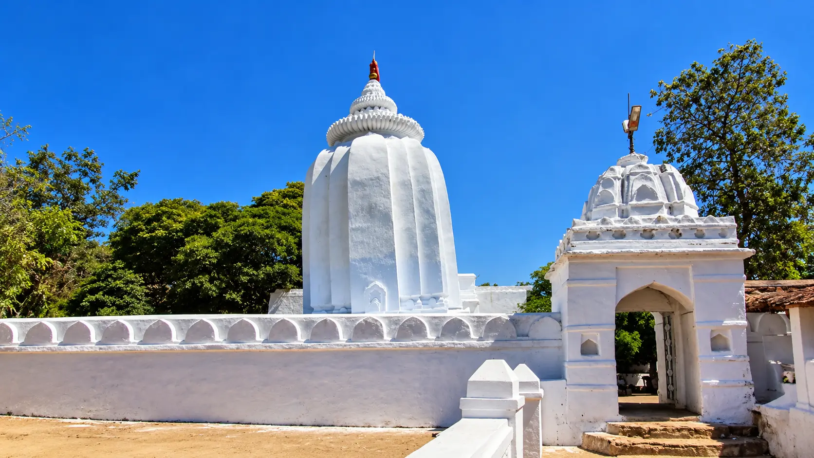
Access to the Darjing riverbanks, picnic grounds, and Deodhar temple is free. The riverfront is accessible during daylight hours from sunrise to sunset (typically 6:00 AM to 5:30 PM). During the peak winter picnic season, a nominal village sanitation and parking fee (approx. ₹30 - ₹50 per vehicle) may be collected by the local Gram Panchayat to manage garbage collection. Visitors must ensure all fires are extinguished and vacate the riverbed before dark. View the water from permitted areas. Water entry depends on local restrictions and conditions; this preview does not establish that swimming or wading is safe.
Darjing is situated directly off National Highway 143 (Rourkela-Barkote Road), approximately 45 km south of central Rourkela (Udit Nagar) and 10 km north of Bonaigarh. The drive takes roughly 50 minutes to 1 hour by private car, taxi, or motorcycle along smooth, four-lane and two-lane national highway stretches. Regular state transport and private buses operating between Rourkela and Barkote/Bonaigarh stop right at the Darjing highway junction. Ample open vehicle parking is available on the shaded high ground beside the river approach.
Fees, visiting hours and entry rules may change. Confirm the latest details with the official operator or local authority before travelling.
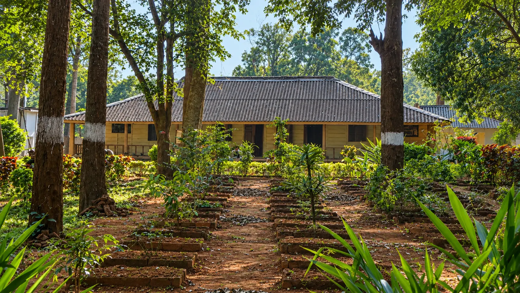
Access to the general hill station viewpoints and township areas is free and unrestricted during daylight hours. Entry to the Tensa Nature Camp and its dedicated walking trails is regulated by the Forest Department for registered overnight guests or day-trippers with a nominal visitor pass (approx. ₹30 - ₹50). Eco-cottage bookings must be secured in advance through the official Odisha Eco-Tourism portal (ecotourodisha.net). Industrial open-pit mining zones are secured; photography of the general landscape is permitted from designated public viewpoints, but trespassing into operational mining pits is strictly prohibited.
Tensa is situated roughly 85 km south of central Rourkela (Udit Nagar). The journey takes approximately 2 to 2.5 hours by private car, taxi, or motorcycle via National Highway 143 to Rajamunda, continuing past Bonaigarh and ascending through the winding, well-engineered mountain ghats of Barsuan into Tensa. Regular state transport buses and rural shared jeeps operate between Rourkela, Bonaigarh, and Tensa. Managed vehicle parking is available at the Nature Camp and town view platforms.
Fees, visiting hours and entry rules may change. Confirm the latest details with the official operator or local authority before travelling.
Browse cities by state · 85 starting points
Open a state, then choose your starting city. Local sights load automatically.
Out-of-town ideas vary in distance. Check your outward and return journey, time at the destination and breaks before deciding whether you need a stay.
Maps may identify a landscape rather than its visitor entrance. Check parking, walks, boat transfers and entry permission with the local operator.
Use the guide for practical context and visit weather for the available three-day forecast. Neither is a live opening or safety confirmation.