Routeyst
Opening your next page…
Routeyst
Opening your next page…
Your next day out
Finding your places to explore…
Loading your city’s local sights and outing ideas.
Choose a starting point, find local sights or an out-of-town idea within a stated 200 km road distance.
Make it your kind of day
Choose a starting point and your ideas appear automatically. Switch to Out of town whenever you fancy going further.
Odisha · Out of town
Nestled in the lush, hilly southern highlands of Odisha at an altitude of approximately 600 metres, Jeypore is the commercial and cultural capital of the historic undivided Koraput district.
Nestled in the lush, hilly southern highlands of Odisha at an altitude of approximately 600 metres, Jeypore is the commercial and cultural capital of the historic undivided Koraput district. As the erstwhile royal seat of the Suryavanshi kings of the Jeypore Kingdom from the mid-17th century until India's independence, Jeypore pairs a rich royal legacy with quick access to some of the Eastern Ghats' most dramatic limestone caverns, cloud-grazing mountain peaks, roaring canyon waterfalls, and living indigenous tribal craft cultures.
When planning outings from Jeypore, visitors can balance easy half-day local town explorations with exhilarating full-day excursions across southern Odisha and neighboring Chhattisgarh:
Out-of-town ideas use a stated road distance of up to 200 km from the researched starting point; confirm your actual route. Some need an overnight stay. Maps opens a place search; check the visitor entrance and current access.
19 of 19 places · Open details without losing your list
Not sure? Pick 2–3 places to compare.
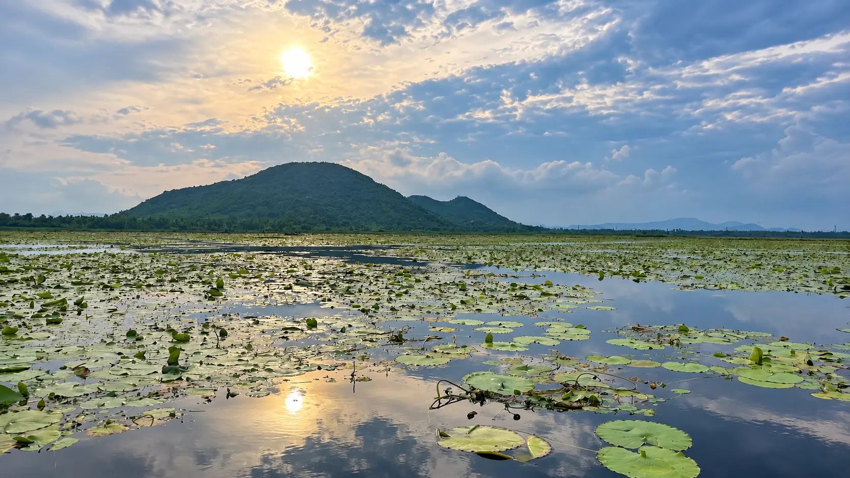
Jeypore Heritage & Lakeside Leisure (Local Day):
Canyon Cascades & Tribal Culture (Southern Corridor):
Eastern Ghats Highlands & Sacred Caves (Southeastern Loop):
Bastar Cross-Border Wonders (Western Interstate Outing):
Planning your day
Both towns make fantastic bases and are separated by just 24 km (40 minutes by road). Jeypore is larger, livelier, sits at a slightly lower elevation (approx. 600 m), and is the best springboard for exploring westward and southward toward Gupteswar Cave, Duduma Waterfall, Onukadelli, Kotpad handlooms, and Bastar/Chitrakote. Koraput sits higher up in the hills (approx. 870 m), enjoys a cooler climate, and is slightly closer to Deomali Peak and the Araku Valley corridor.
Thursday is by far the most culturally vibrant day of the week because of the famous Onukadelli Market. If you wish to witness the weekly gathering of the Bonda tribe, schedule your southern excursion (Onukadelli + Duduma Waterfall + Jalaput) specifically for a Thursday morning.
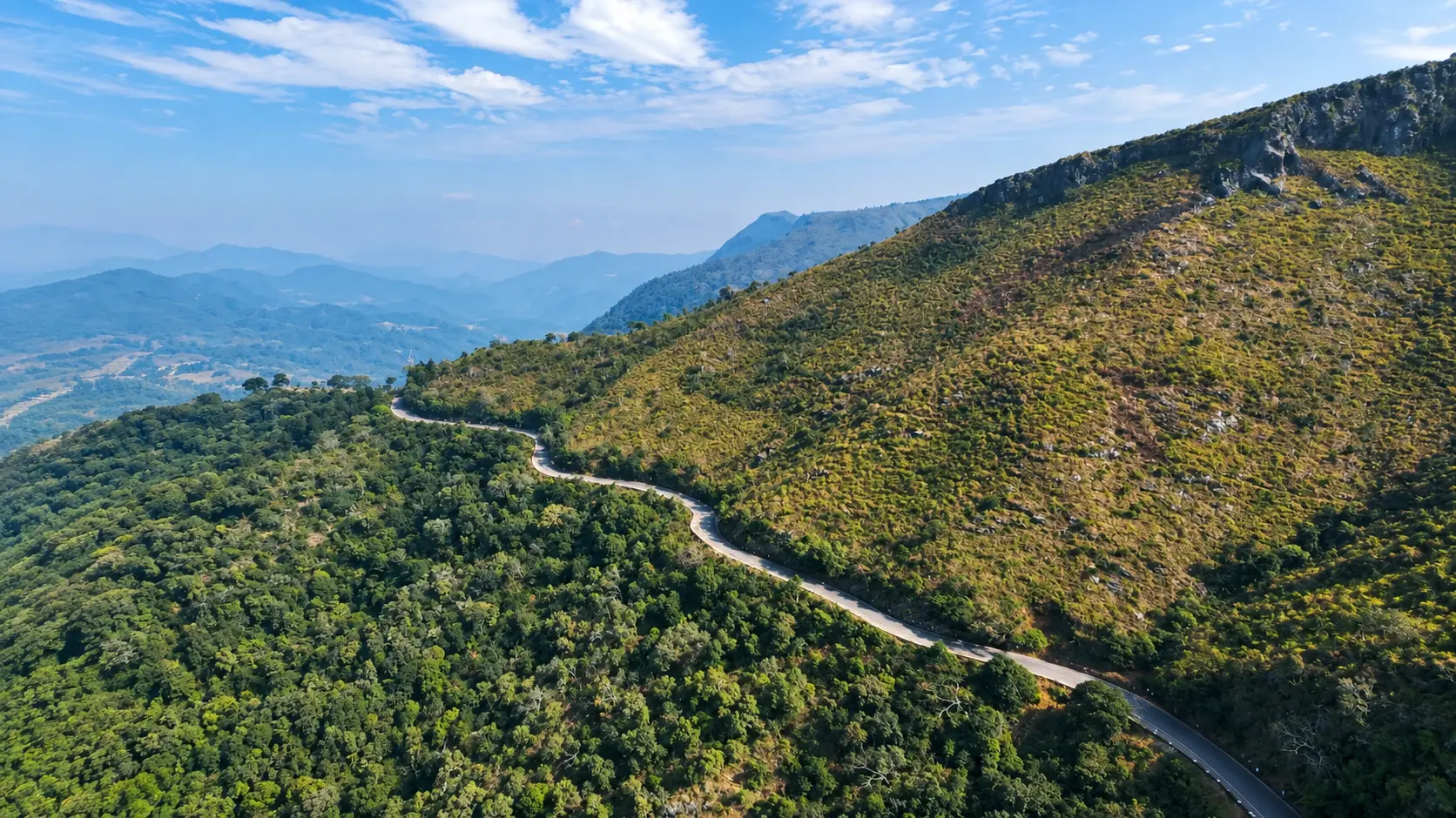
National Highway 26 (NH 26 toward Koraput, Visakhapatnam, and Raipur) and National Highway 63 (NH 63 toward Kotpad and Jagdalpur) are smooth, well-paved, two-lane asphalt highways. Roads to major tourist sites like Gupteswar Cave, Duduma Waterfall, and Kolab Dam are fully paved. Mountain roads ascending Deomali Peak have several sharp switchbacks but are surfaced. Only the final approaches to remote offbeat locations (such as Balda Table Top or inner Kechala) have unpaved gravel stretches.
Jeypore is an exceptional shopping base for genuine regional crafts:
Your friend receives the same starting point, outing type and filters. No sign-in needed.
Make room for a longer journey
Hubs and guides from our wider collection, ordered with local and geographically closer places first. These are not limited to 200 km and are not road-distance estimates.
Open a place for its researched visitor notes. Confirm current charges and access before travelling.
Maliguda is situated in Koraput district, roughly 20 km northeast of central Jeypore (Jeypore Palace) and 18 km northwest of Koraput town.
Fees, visiting hours and entry rules may change. Confirm the latest details with the official operator or local authority before travelling.
Kotpad is situated in northwestern Koraput district along the Odisha-Chhattisgarh border corridor, approximately 40 km northwest of central Jeypore (Jeypore Palace) and 25 km southeast of Jagdalpur.
Fees, visiting hours and entry rules may change. Confirm the latest details with the official operator or local authority before travelling.
Sabara Srikhetra is situated on a hillock in Koraput town, approximately 23 km east of central Jeypore (Jeypore Palace) and 2 km from Koraput Railway Station.
Fees, visiting hours and entry rules may change. Confirm the latest details with the official operator or local authority before travelling.
The Tribal Museum is located on the hilltop adjacent to Sabara Srikhetra Jagannath Temple in Koraput town, approximately 23 km east of central Jeypore (Jeypore Palace) and 2 km from Koraput Railway Station.
Fees, visiting hours and entry rules may change. Confirm the latest details with the official operator or local authority before travelling.
Dumuriput is situated along the Koraput-Damanjodi Highway (SH 4), approximately 30 to 32 km southeast of central Jeypore (Jeypore Palace) and 12 km southeast of Koraput town.
Fees, visiting hours and entry rules may change. Confirm the latest details with the official operator or local authority before travelling.
Subai village is situated in Semiliguda block of Koraput district, roughly 35 km southeast of central Jeypore (Jeypore Palace) and 25 km south of Koraput town.
Fees, visiting hours and entry rules may change. Confirm the latest details with the official operator or local authority before travelling.
Kechala is situated in central Koraput district on the western peninsula of the Kolab Reservoir, roughly 30 km east of Jeypore and 12 km southwest of Koraput town.
Fees, visiting hours and entry rules may change. Confirm the latest details with the official operator or local authority before travelling.
Nandapur is situated in southeastern Koraput district, roughly 52 km southeast of Jeypore and 45 km south of Koraput town.
Fees, visiting hours and entry rules may change. Confirm the latest details with the official operator or local authority before travelling.
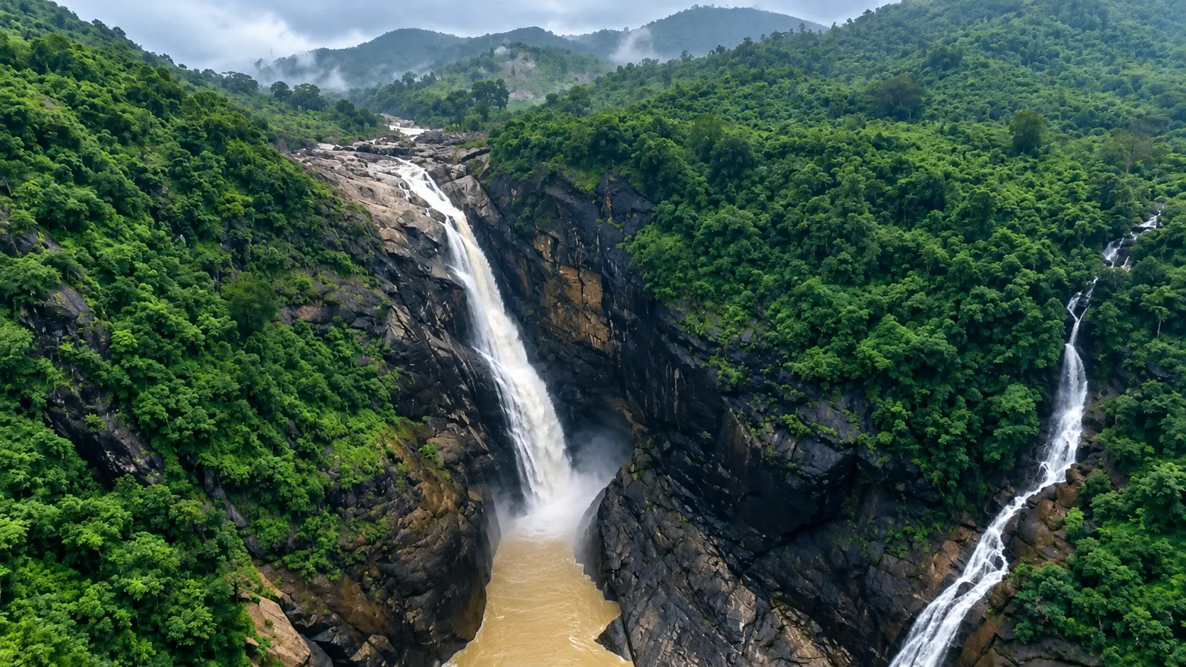
Rani Duduma is located in the Nandapur administrative block of Koraput district, approximately 55 km southeast of Jeypore, 45 km south of Koraput town, and 26 km south of Semiliguda.
Fees, visiting hours and entry rules may change. Confirm the latest details with the official operator or local authority before travelling.
Balda is situated near Nandapur in southern Koraput district, approximately 66 km southeast of Jeypore and 58 km south of Koraput town.
Fees, visiting hours and entry rules may change. Confirm the latest details with the official operator or local authority before travelling.
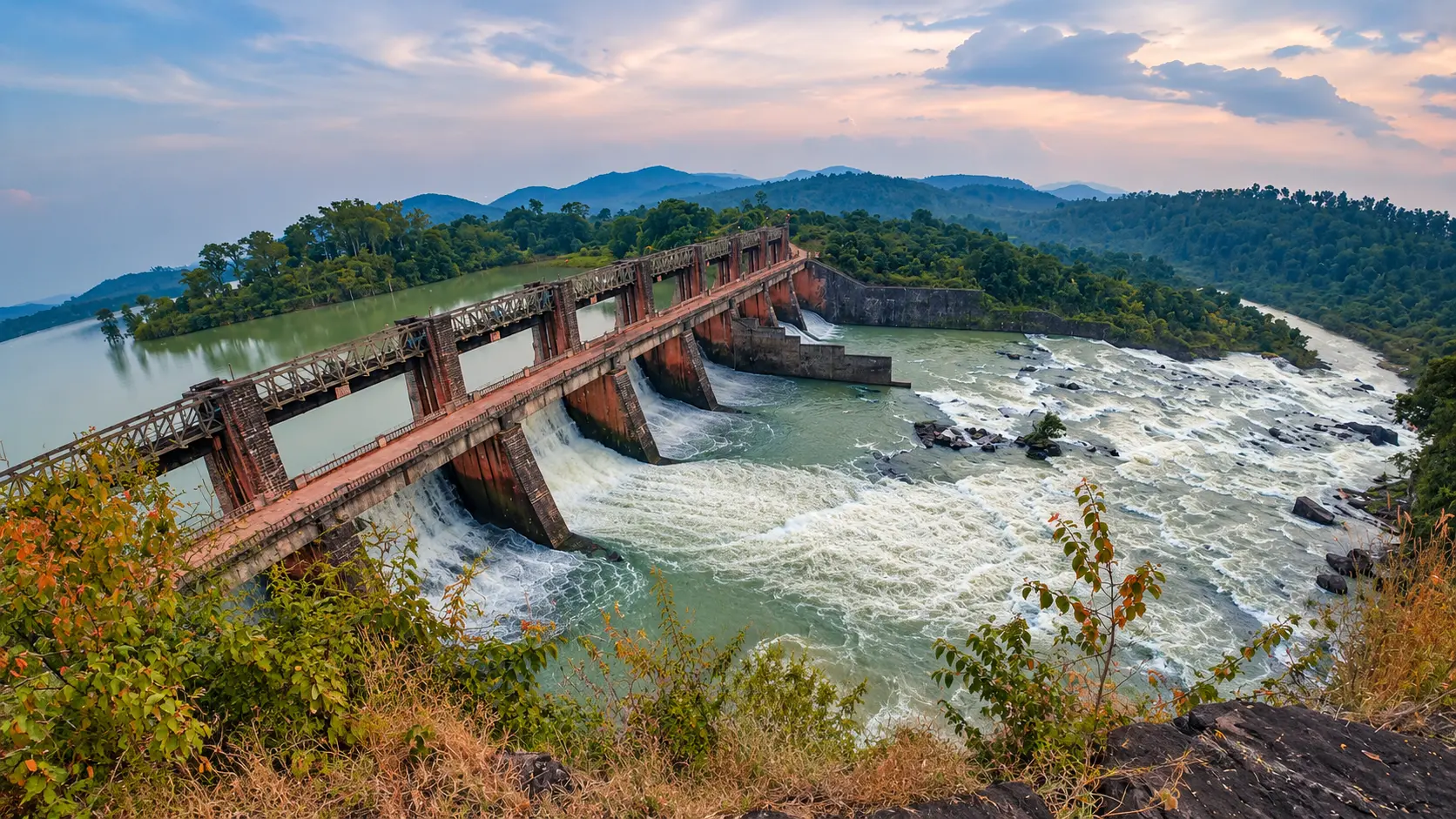
Gupteswar is located in the Boipariguda administrative block of southwestern Koraput district, right on the interstate border with Bastar district of Chhattisgarh.
Fees, visiting hours and entry rules may change. Confirm the latest details with the official operator or local authority before travelling.
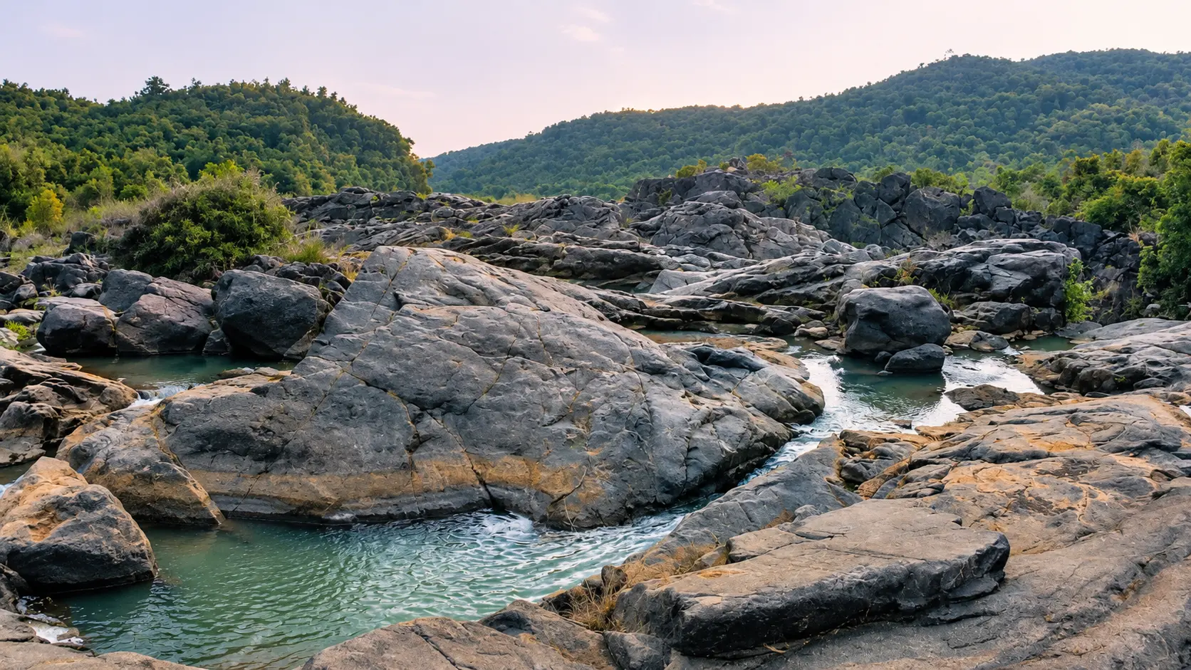
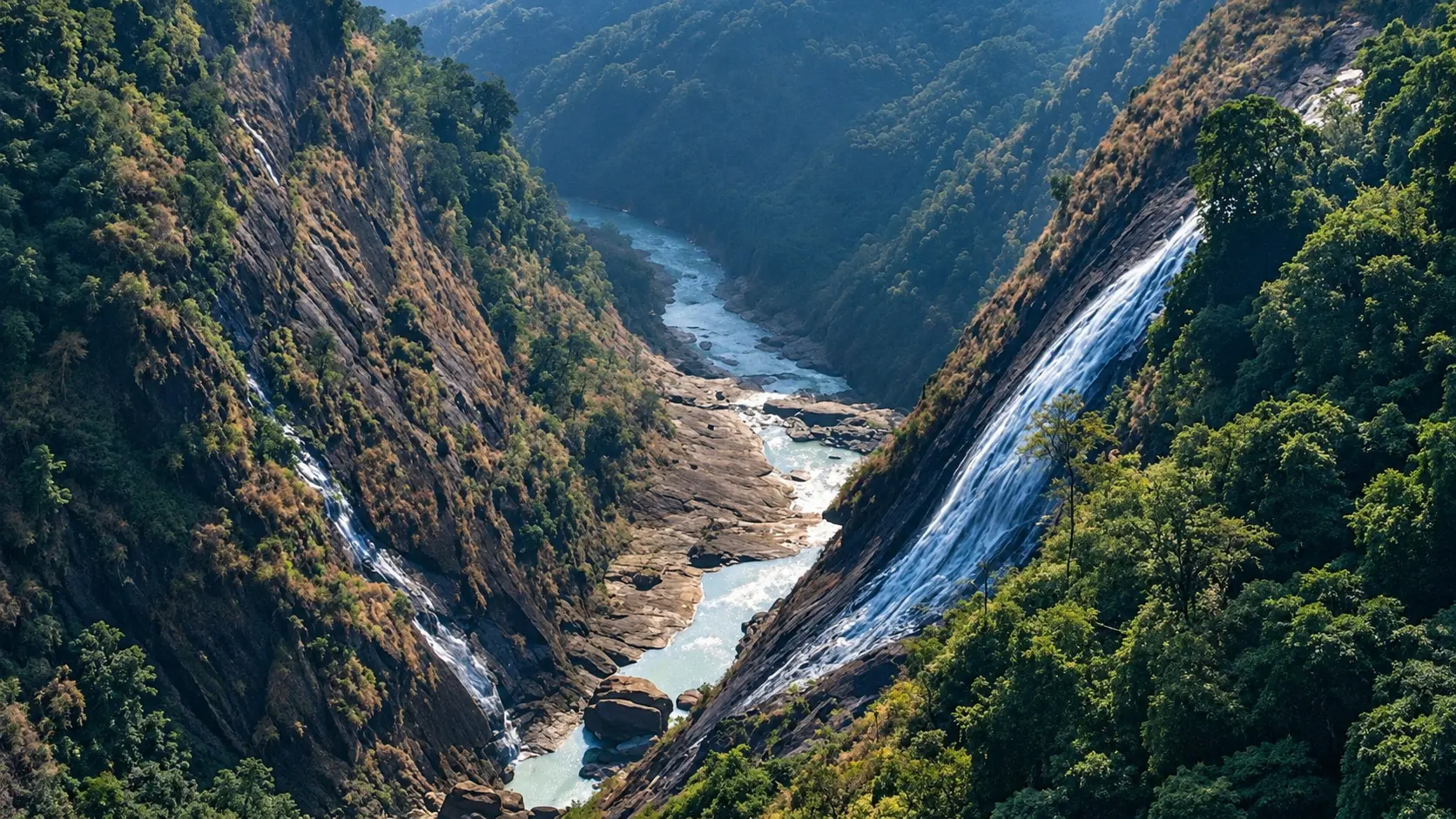
Duduma is situated near the township of Machkund in Lamtaput block, roughly 68 km south of Jeypore and 74 km southwest of Koraput town.
Fees, visiting hours and entry rules may change. Confirm the latest details with the official operator or local authority before travelling.
Onukadelli is located near the Odisha - Andhra Pradesh interstate border in Lamtaput block, roughly 68 km southwest of Jeypore and 76 km southwest of Koraput town.
Fees, visiting hours and entry rules may change. Confirm the latest details with the official operator or local authority before travelling.
Jalaput is situated in southern Koraput district on the Andhra Pradesh border, approximately 68 km south of Jeypore and 75 km southwest of Koraput town.
Fees, visiting hours and entry rules may change. Confirm the latest details with the official operator or local authority before travelling.
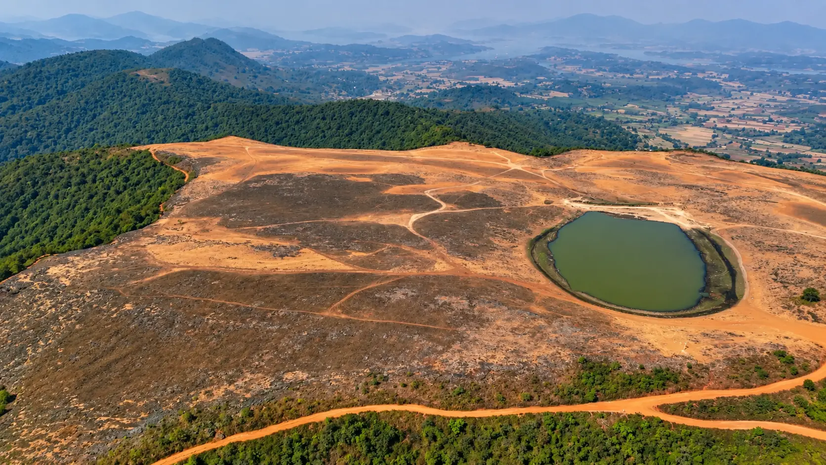
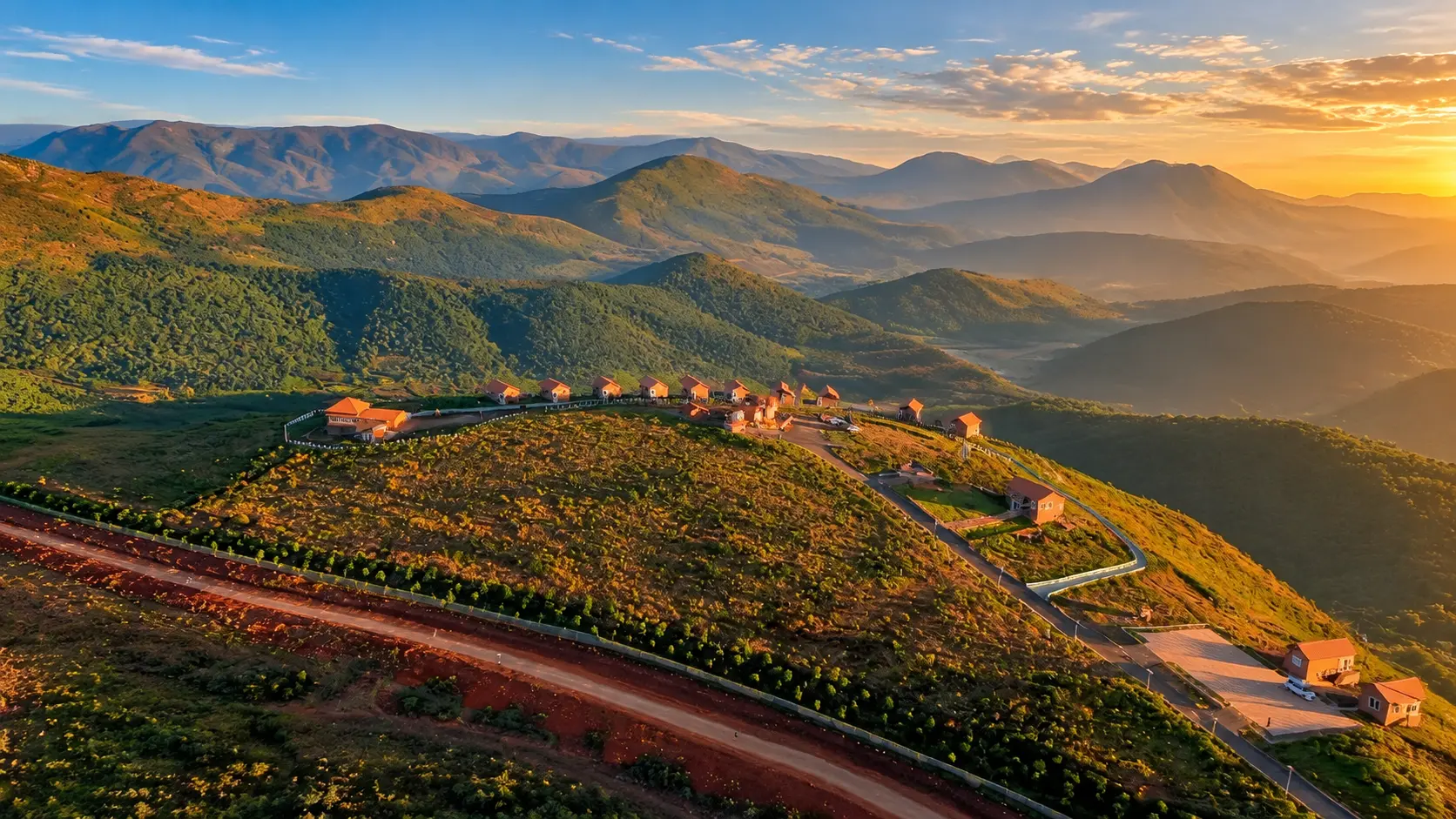
Visitor and vehicle charges apply at Deomali; confirm the current charges and what they include at the entrance. Nature-camp accommodation is a separate booking. Confirm current day-visit hours and overnight permissions with the operator.
Deomali is situated near Duda village in Pottangi block, approximately 70 km southeast of Jeypore and 52 km southeast of Koraput town.
Fees, visiting hours and entry rules may change. Confirm the latest details with the official operator or local authority before travelling.
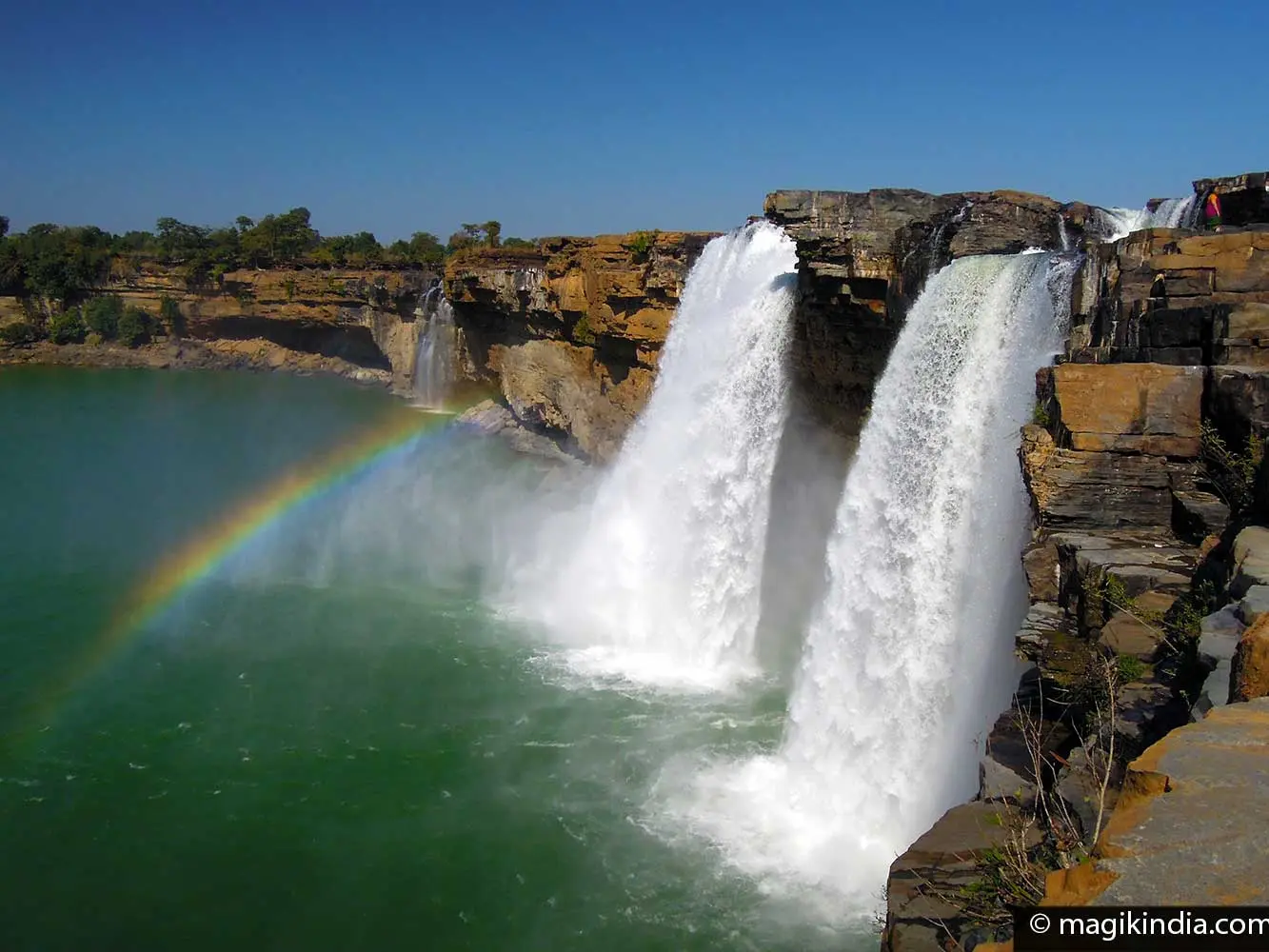
Chitrakote is situated on the Indravati River in western Bastar district, approximately 120 km west of Jeypore and 38 km west of Jagdalpur.
Fees, visiting hours and entry rules may change. Confirm the latest details with the official operator or local authority before travelling.
Tirathgarh is located inside Kanger Valley National Park in southern Bastar district, approximately 115 km southwest of Jeypore and 35 km south of Jagdalpur.
Fees, visiting hours and entry rules may change. Confirm the latest details with the official operator or local authority before travelling.
The museum is open daily from 9:00 AM to 6:30 PM (often extending to 7:00 PM during peak holiday seasons). General admission tickets are approximately ₹50 for adults and ₹20 for children. Camera charges are roughly ₹30 for still cameras and ₹100 for video equipment. Modest user fees apply for children's adventure activities or boating in the adjoining recreational pond. Commercial photography and filming require prior clearance from the ITDA project officer. Details can change in accordance with tourism authority updates.
Located right in the heart of Araku Valley town along the main road, approximately 115 km northwest of Visakhapatnam and about 1.5 km from Araku Railway Station. Visitors travelling by road follow State Highway 39 directly into Araku town. State buses running from Visakhapatnam (Dwaraka Bus Station) terminate at the Araku bus depot, situated less than 1 km from the museum entrance. Local auto-rickshaws are readily available throughout Araku town. Dedicated paved parking is available inside the museum compound for cars and tourist coaches.
Fees, visiting hours and entry rules may change. Confirm the latest details with the official operator or local authority before travelling.
The caves are open daily from 10:00 AM to 5:00 PM, with an official afternoon operational break typically between 1:00 PM and 2:00 PM (during which entry ticket sales pause). Admission fees are approximately ₹80 for adults and ₹60 for children. Still camera charges are roughly ₹100, and video camera fees are around ₹100. Advance tickets can be purchased at the APTDC computerized counters at the entrance gate. Commercial filming or drone flights around the hill gorge require prior forest and district administration clearance. Operating timings and fees are subject to state tourism department revisions.
Located near Borra village in Ananthagiri Mandal of Alluri Sitharama Raju district, approximately 90 km northwest of central Visakhapatnam and 36 km before Araku Valley. The scenic road journey via SH39 (Vizag-Araku Road) takes roughly 2.5 to 3 hours by private car or tourist taxi, climbing through the winding Eastern Ghats ghat section. Alternatively, the famous Visakhapatnam-Kirandul Passenger (or Vistadome tourist express train) stops at Borra Guhalu railway station, located just 1 km from the cave entrance. Ample paid parking is provided outside the entry complex.
Fees, visiting hours and entry rules may change. Confirm the latest details with the official operator or local authority before travelling.
Browse cities by state · 85 starting points
Open a state, then choose your starting city. Local sights load automatically.
Out-of-town ideas vary in distance. Check your outward and return journey, time at the destination and breaks before deciding whether you need a stay.
Maps may identify a landscape rather than its visitor entrance. Check parking, walks, boat transfers and entry permission with the local operator.
Use the guide for practical context and visit weather for the available three-day forecast. Neither is a live opening or safety confirmation.