Routeyst
Opening your next page…
Routeyst
Opening your next page…
Your next day out
Finding your places to explore…
Loading your city’s local sights and outing ideas.
Choose a starting point, find local sights or an out-of-town idea within a stated 200 km road distance.
Make it your kind of day
Choose a starting point and your ideas appear automatically. Switch to Out of town whenever you fancy going further.
Kerala · Out of town
Celebrated as the "Queen of the Arabian Sea," Kochi is a captivating, multifaceted coastal metropolis shaped by centuries of international maritime spice trade, colonial European conquests, and intricate estuarine waterways.
Celebrated as the "Queen of the Arabian Sea," Kochi is a captivating, multifaceted coastal metropolis shaped by centuries of international maritime spice trade, colonial European conquests, and intricate estuarine waterways. What distinguishes Kochi as a weekend hub is its unique amphibious geography: the city is divided between the bustling mainland commercial spine of Ernakulam, a string of historic islands interconnected by road bridges and ferry networks (Bolgatty, Vallarpadam, Vypin, Willingdon), and the legendary colonial promontories of Fort Kochi and Mattancherry. Radiating outward from the central mainland waterfront at Marine Drive, road corridors offer quick access to tranquil swimming beaches, UNESCO-listed Muziris heritage sites, lowland rainforest bird sanctuaries, the world-famous backwaters of Vembanad, thundering river waterfalls, and cool Western Ghats hill stations:
Out-of-town ideas use a stated road distance of up to 200 km from the researched starting point; confirm your actual route. Some need an overnight stay. Maps opens a place search; check the visitor entrance and current access.
13 of 13 places · Open details without losing your list
Not sure? Pick 2–3 places to compare.
Planning your day
While driving via Willingdon Island covers approximately 14 to 16 km through industrial port traffic (taking 35 to 55 minutes), the state-run public passenger ferry operating from Ernakulam Main Boat Jetty to Fort Kochi Customs Jetty takes only 15 to 20 minutes and costs a nominal ₹5 to ₹10 per passenger. Water Metro hybrid-electric catamarans also provide modern, air-conditioned water transit linking High Court Jetty, Bolgatty, and Vypin.
Navigating weekly closures in Mattancherry requires advance planning: Mattancherry Palace is strictly closed every Friday (ASI rule), while the Paradesi Synagogue is strictly closed every Friday, Saturday (Shabbat), and during Jewish high holy days. Therefore, to tour both iconic heritage sites on the same day, you must plan your visit between Sunday and Thursday.
Swimming is strictly prohibited at Fort Kochi Beach and Puthuvype Beach due to extreme undertows, sudden drop-offs, and treacherous currents generated by deep-water shipping traffic in the Cochin harbour channel. View the water from permitted areas. Water entry depends on local restrictions and conditions; this preview does not establish that swimming or wading is safe.
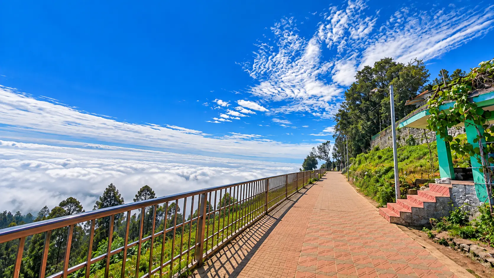
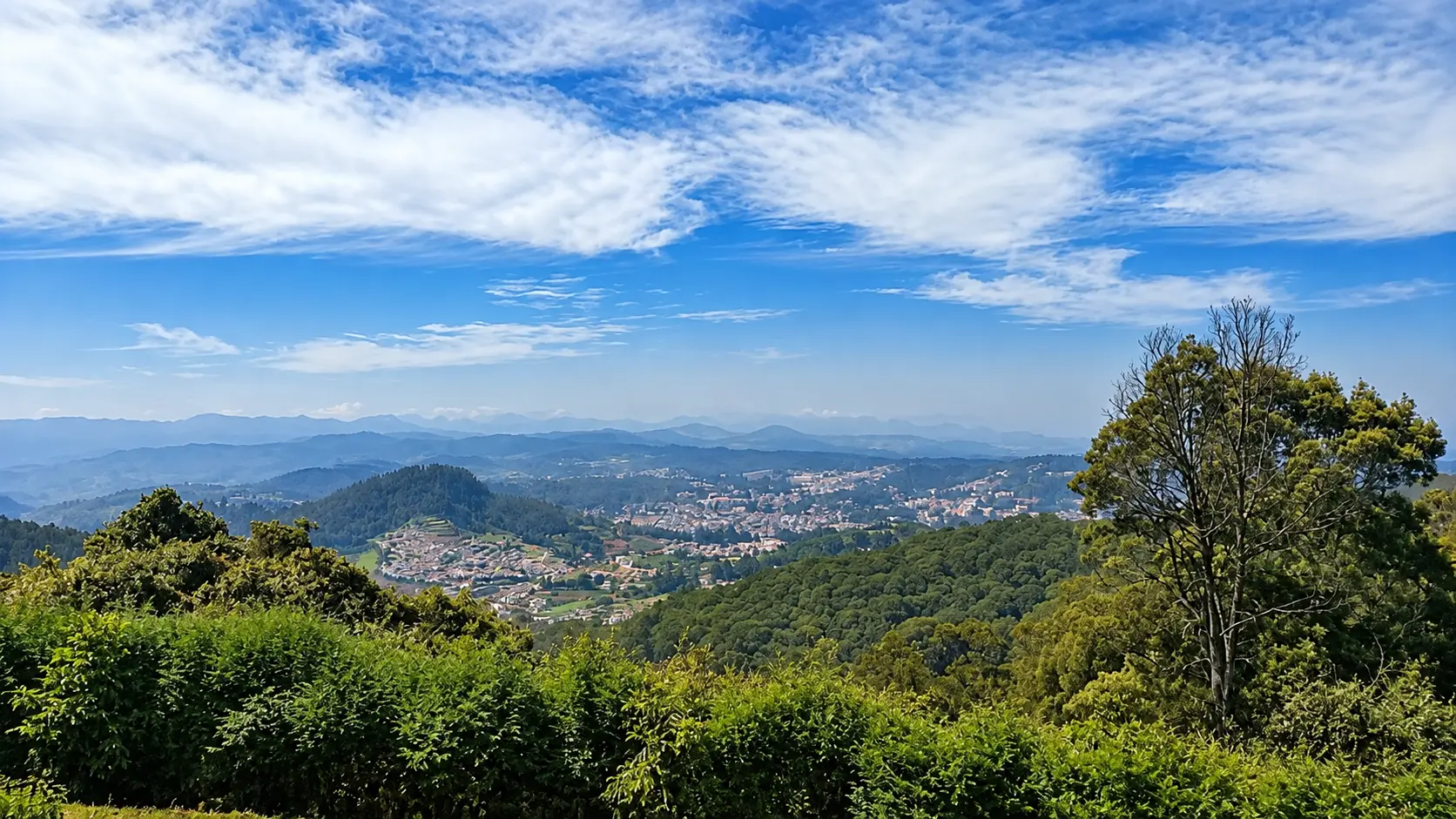
Both destinations are within road reach: Vagamon (98 km, ~2.75 hours) makes for an enjoyable single-day outing if departing by 7:00 AM. Munnar (125 km, ~3.5 to 4 hours one-way) can technically be visited in a long day trip (departing at 6:00 AM and returning late at night), but spending at least one night in Munnar is strongly recommended to explore Eravikulam National Park, visit tea factories, and enjoy the cool mountain evenings without rushing.
Your friend receives the same starting point, outing type and filters. No sign-in needed.
Make room for a longer journey
Hubs and guides from our wider collection, ordered with local and geographically closer places first. These are not limited to 200 km and are not road-distance estimates.
Open a place for its researched visitor notes. Confirm current charges and access before travelling.
Check the current visiting hours and permitted access with the site operator before departure; ceremonies, closures and visitor sessions can affect access. The recommended visiting hours are from 6:00 AM to 7:00 PM for daylight visibility and security. No entry permits or camera fees are required. Visitors should adhere to beach warning signs, refrain from littering plastics, and respect coastal village modesty.
Situated in Kuzhupilly village on Vypin Island in Ernakulam district, the beach lies 24 km north of Marine Drive in central Ernakulam. The drive takes approximately 45 to 55 minutes via the Goshree Bridges (Goshree 1, 2, and 3) onto the Vypin - Munambam State Highway (SH 63), turning left at the Kuzhupilly Temple / Beach Junction onto the 1.5-km scenic backwater approach road. KSRTC and private local buses operating between the High Court Vypin terminal and Cherai/Munambam stop at Kuzhupilly junction, where auto-rickshaws are readily available for the short transfer to the beach. An open ground near the pine grove provides ample informal parking for cars and two-wheelers.
Fees, visiting hours and entry rules may change. Confirm the latest details with the official operator or local authority before travelling.
Check the current visiting hours and permitted access with the site operator before departure; ceremonies, closures and visitor sessions can affect access.
Cherai Beach is located at the northern end of Vypin Island in Ernakulam district, 28 km north of Marine Drive in central Ernakulam. The drive takes approximately 55 to 70 minutes via the Goshree Bridges onto the Vypin - Munambam Highway (SH 63), continuing straight through Kuzhupilly and turning left onto Cherai Beach Road. Alternatively, visitors travelling from the northern mainland (Thrissur or Aluva) can travel via North Paravur (NH 66) and cross the Cherai-Munambam bridge. Frequent private and KSRTC buses run between the High Court Vypin bus terminal and Cherai Beach. A large designated paid municipal parking lot accommodates cars, tourist coaches, and two-wheelers behind the main promenade.
Fees, visiting hours and entry rules may change. Confirm the latest details with the official operator or local authority before travelling.
The Paliam Palace and Nalukettu are administered under the Muziris Heritage Project by the Kerala Tourism Department.
Paliam Palace is situated in Chendamangalam village near North Paravur in Ernakulam district, 32 km north of central Kochi (Marine Drive). The drive takes approximately 60 to 75 minutes via NH 66 (Kochi - Panvel Highway) through Edappally, Varapuzha bridge, and North Paravur town, then following Chendamangalam Road for 4 km. Alternatively, visitors coming from Vypin can drive via Cherai and cross the river bridge directly into Paravur. Regular KSRTC and private buses operate between Ernakulam Kaloor / KSRTC terminals and North Paravur bus stand, from where auto-rickshaws take 10 minutes to reach Paliam. Dedicated surface parking for vehicles is available adjacent to the ticket office.
Fees, visiting hours and entry rules may change. Confirm the latest details with the official operator or local authority before travelling.
Check the current visiting hours and permitted access with the site operator before departure; ceremonies, closures and visitor sessions can affect access.
Marari Beach is situated in Mararikulam village in northern Alappuzha district, 42 km south of central Kochi (Marine Drive). The drive takes approximately 60 to 75 minutes via NH 66 (Kochi - Alappuzha corridor) or via the picturesque Coastal Highway passing through Chellanam and Andhakaranazhi. Mararikulam railway station is located 4 km inland from the beach, served by passenger and express trains on the Ernakulam - Alappuzha coastal rail line. Frequent KSRTC and private buses ply NH 66 between Ernakulam and Alappuzha, dropping passengers at Mararikulam Junction (Kanjikuzhy), where auto-rickshaws take 10 minutes to reach the beach. An informal open-air parking ground is available at the end of the public beach approach road.
Fees, visiting hours and entry rules may change. Confirm the latest details with the official operator or local authority before travelling.
The Kumarakom Bird Sanctuary is managed by the Kerala Tourism Development Corporation (KTDC) and the Forest Department.
Kumarakom is located 50 km southeast of central Kochi (Marine Drive). The drive takes around 1 hour 30 minutes via NH 66 through Tripunithura, Thalayolaparambu, and Vaikom, then joining the Kumarakom road along the lake. Kottayam railway station is 14 km east, offering frequent express train connectivity to Kochi, Thiruvananthapuram, and major Indian cities. Regular KSRTC and private buses run between Kottayam KSRTC bus stand and Kumarakom boat jetty every 15 minutes. Alternatively, state water transport ferries operate between Alappuzha town and Muhamma jetty, where passenger boats cross Vembanad Lake directly to Kumarakom. Dedicated parking is available at the Bird Sanctuary entrance (Kavanattinkara) and adjacent government boat depots.
Fees, visiting hours and entry rules may change. Confirm the latest details with the official operator or local authority before travelling.
The Bhoothathankettu Eco-Tourism Park and dam premises are managed by the Kerala Irrigation and Forest Departments.
Bhoothathankettu is located 10 km northeast of Kothamangalam town in eastern Ernakulam district, approximately 52 km east of central Kochi (Marine Drive). The drive takes around 1 hour 45 minutes to 2 hours via the Kochi - Dhanushkodi Highway (NH 85) through Tripunithura, Kolenchery, and Muvattupuzha to Kothamangalam, then following Kothamangalam - Bhoothathankettu Road. Frequent KSRTC and private buses run from Ernakulam Kaloor and Muvattupuzha to Kothamangalam bus terminal, with connecting local shuttle buses operating directly to the Bhoothathankettu dam entrance. Ample parking for four-wheelers and buses is available at the main eco-tourism gate.
Fees, visiting hours and entry rules may change. Confirm the latest details with the official operator or local authority before travelling.
Access to the public lakefront and town canals is free. Boating tariffs vary significantly based on boat type and season:
Alappuzha is situated 55 km south of central Kochi (Marine Drive). The journey takes approximately 1 hour 15 minutes to 1 hour 30 minutes by car via the four-lane NH 66 corridor. Alappuzha Railway Station (ALLP) is a major junction connected by frequent express and local passenger trains from Ernakulam Junction (ERS), taking only 50 to 60 minutes. State-run KSRTC buses run every 10 to 15 minutes between Ernakulam KSRTC stand and Alappuzha KSRTC depot. The primary houseboat and shikara embarkation points are Punnamada Finishing Point Jetty and VCSB Boat Jetty, where ample secure pay-and-park facilities for cars and buses are available.
Fees, visiting hours and entry rules may change. Confirm the latest details with the official operator or local authority before travelling.
The sanctuary is administered by the Kerala Forest and Wildlife Department.
Thattekad Bird Sanctuary is located 12 km northeast of Kothamangalam in eastern Ernakulam district, approximately 60 km east of central Kochi (Marine Drive). The drive takes approximately 2 hours via the Kochi - Dhanushkodi Highway (NH 85) to Kothamangalam, followed by the Kothamangalam - Thattekad Road crossing the scenic Thattekad Bridge over the Periyar River. KSRTC and private buses ply frequently between Ernakulam and Kothamangalam bus station, with local connecting buses running regularly to Thattekad Sanctuary entrance. Dedicated parking for private cars and safari vehicles is provided near the ticket complex.
Fees, visiting hours and entry rules may change. Confirm the latest details with the official operator or local authority before travelling.
The waterfall complex is strictly managed by the Kerala Forest and Wildlife Department (Vazhachal Division).
Athirappilly is located 70 km northeast of central Kochi (Marine Drive) and 30 km east of Chalakudy town in Thrissur district. The drive takes approximately 1 hour 45 minutes to 2 hours via NH 544 (Kochi - Thrissur Highway) through Aluva and Angamaly to Chalakudy, then turning east onto the scenic, tree-lined Chalakudy - Anamala Road (State Highway 21). Chalakudy Railway Station (CKI) is the closest railhead (30 km west), with express train connections from Ernakulam. Regular KSRTC and private buses run between Chalakudy KSRTC stand and Athirappilly / Vazhachal every 30 minutes. Dedicated parking lots managed by the Forest Vana Samrakshana Samithi (VSS) are located near the main ticket plaza.
Fees, visiting hours and entry rules may change. Confirm the latest details with the official operator or local authority before travelling.
Vazhachal is administered by the Vazhachal Forest Division of the Kerala Forest and Wildlife Department.
Vazhachal is located 75 km northeast of central Kochi (Marine Drive) and 35 km east of Chalakudy town on State Highway 21 (Chalakudy - Anamala - Valparai Road). Driving time from Kochi is approximately 2 hours to 2 hours 15 minutes via NH 544 to Chalakudy, then following SH 21 through Athirappilly and Charpa. Regular KSRTC and private buses from Chalakudy terminate at the Vazhachal bus shelter right opposite the forest entry gate. Forest Department-managed car parking is situated adjacent to the ticket checkpost.
Fees, visiting hours and entry rules may change. Confirm the latest details with the official operator or local authority before travelling.
The temple is governed by the statutory Guruvayur Devaswom Board.
Guruvayur is located 95 km north of central Kochi (Marine Drive). The drive takes approximately 2 hours 15 minutes to 2 hours 30 minutes via NH 66 (Kochi - Kozhikode coastal highway) or via NH 544 to Thrissur town (80 km), then proceeding 25 km west along the Thrissur - Guruvayur Road. Guruvayur Railway Station (GUV) has direct passenger and express train connections to Ernakulam and Thrissur. KSRTC and private superfast buses ply continuously between Ernakulam KSRTC stand and Guruvayur bus terminal. The Devaswom operates extensive multi-level car and tourist coach parking complexes near the East and West Gopurams.
Fees, visiting hours and entry rules may change. Confirm the latest details with the official operator or local authority before travelling.
The main natural attractions in Vagamon are maintained by the District Tourism Promotion Council (DTPC) and the Forest Department.
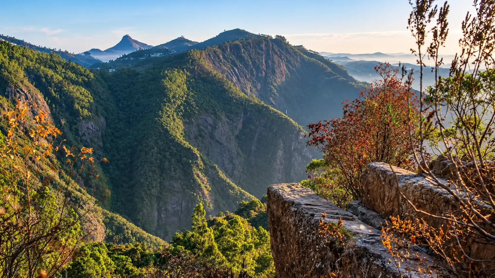
Vagamon is situated 98 km east-southeast of central Kochi (Marine Drive). The scenic drive takes approximately 2 hours 45 minutes to 3 hours via Tripunithura, Muvattupuzha, Pala, and Erattupetta, climbing the thrilling Theekoy - Vagamon Ghat Road (State Highway 14 / SH 32), featuring winding hairpin turns, dramatic waterfall viewpoints, and dense rubber and spice plantations transitioning into tea country. Kottayam railway station (64 km west) is the nearest major railhead. Regular KSRTC and private buses operate from Kottayam, Pala, and Ernakulam to Vagamon town bus stand. Designated surface parking lots are located near the Pine Forest, Kurisumala junction, and Green Meadows.
Fees, visiting hours and entry rules may change. Confirm the latest details with the official operator or local authority before travelling.
Munnar is situated 125 km east of central Kochi (Marine Drive). The drive takes approximately 3.5 to 4 hours via the Kochi - Dhanushkodi National Highway (NH 85) through Muvattupuzha, Kothamangalam, the historic Neriamangalam Bridge ("Gateway to the High Ranges"), and Adimali. The route climbs through dramatic mountain switchbacks with spectacular valley views. Aluva Railway Station (110 km west) and Ernakulam Junction (125 km west) are the closest major railheads. KSRTC operates regular fast passenger and low-floor AC buses between Ernakulam KSRTC bus stand and Munnar bus depot throughout the day. Ample parking is available in Munnar town and at all major tourist viewpoints.
Fees, visiting hours and entry rules may change. Confirm the latest details with the official operator or local authority before travelling.
Browse cities by state · 85 starting points
Open a state, then choose your starting city. Local sights load automatically.
Out-of-town ideas vary in distance. Check your outward and return journey, time at the destination and breaks before deciding whether you need a stay.
Maps may identify a landscape rather than its visitor entrance. Check parking, walks, boat transfers and entry permission with the local operator.
Use the guide for practical context and visit weather for the available three-day forecast. Neither is a live opening or safety confirmation.